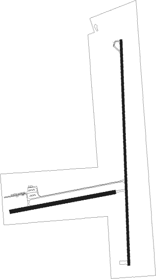
Sheridan - Twin Bridges
Airport details
| Country | United States of America |
| State | Montana |
| Region | K1 |
| Airspace | Salt Lake City Ctr |
| Municipality | Madison County |
| Elevation | 4773ft (1455m) |
| Timezone | GMT -7 |
| Coordinates | 45.53540, -112.30227 |
| Magnetic var | |
| Type | land |
| Available since | X-Plane v10.40 |
| ICAO code | 7S1 |
| IATA code | n/a |
| FAA code | n/a |
Communication
| Twin Bridges CTAF | 122.900 |
Nearby Points of Interest:
Doncaster Round Barn
-Ferris-Hermsmeyer-Fenton Ranch
-Martin Barrett House
-Union City, Montana
-Silver Bow County Poor Farm Hospital

Nearby beacons
| code | identifier | dist | bearing | frequency |
|---|---|---|---|---|
| DLN | DILLON VOR/DME | 20 | 220° | 113 |
| HIA | WHITEHALL VOR/DME | 20.3 | 22° | 113.70 |
| EKS | ENNIS NDB | 31.7 | 112° | 286 |
| CPN | COPPERTOWN (BUTTE) VOR/DME | 35.1 | 318° | 111.60 |
Disclaimer
The information on this website is not for real aviation. Use this data with the X-Plane flight simulator only! Data taken with kind consent from X-Plane 12 source code and data files. Content is subject to change without notice.