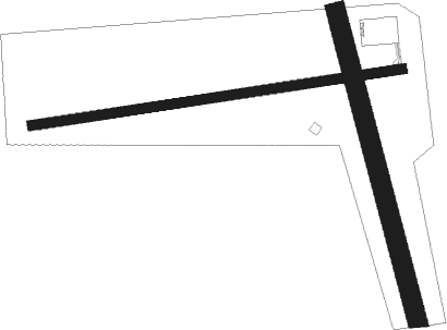
Thompsonville
Airport details
| Country | United States of America |
| State | Michigan |
| Region | |
| Airspace | Minneapolis Ctr |
| Municipality | Weldon Township |
| Elevation | 791ft (241m) |
| Timezone | GMT -5 |
| Coordinates | 44.51831, -85.97823 |
| Magnetic var | |
| Type | land |
| Available since | X-Plane v10.40 |
| ICAO code | 7Y2 |
| IATA code | n/a |
| FAA code | 7Y2 |
Communication
| Thompsonville CTAF | 122.900 |
Nearby Points of Interest:
Mills Community House
-Benzie County Courthouse
-John J. Makinen Bottle House
-Gwen Frostic Studio
-Watervale
-Camp Arcadia
-Frankfort Land Company House
-Platte River Campground Site
-Navigation Structures at Frankfort Harbor
-Camp Tosebo
-Sandenburgh-Rogers Summer Resort Complex
-Point Betsie Light
-Empire School
-Traverse City State Hospital
-Central Neighborhood Historic District
-Manistee Central Business District
-First Congregational Church
-Our Saviour's Evangelical Lutheran Church
-Simeon Babcock House
-Campbell-DeYoung Farm
-Manistee Harbor, South Breakwater
-Port Oneida Rural Historic District
-Bingham District No. 5 Schoolhouse
-William and Margaret McFarland Core Farm
-John Pulcipher House
Nearby beacons
| code | identifier | dist | bearing | frequency |
|---|---|---|---|---|
| MB | JEPOT (MANISTEE) NDB | 16.4 | 214° | 254 |
| MBL | DME | 19 | 228° | 111.40 |
| TVC | TRAVERSE CITY VOR/DME | 20.3 | 71° | 114.60 |
| MA | WEXOR (CADILLAC) NDB | 25 | 123° | 336 |
| TV | GWENN (TRAVERSE CITY) NDB | 26.8 | 69° | 365 |
| HIC | WHITE CLOUD VOR/DME | 57.7 | 164° | 117.60 |
Disclaimer
The information on this website is not for real aviation. Use this data with the X-Plane flight simulator only! Data taken with kind consent from X-Plane 12 source code and data files. Content is subject to change without notice.

