Yazoo City - Yazoo County
Airport details
| Country | United States of America |
| State | Mississippi |
| Region | K7 |
| Airspace | Memphis Ctr |
| Municipality | Yazoo County |
| Elevation | 104ft (32m) |
| Timezone | GMT -6 |
| Coordinates | 32.88350, -90.46400 |
| Magnetic var | |
| Type | land |
| Available since | X-Plane v10.40 |
| ICAO code | 87I |
| IATA code | n/a |
| FAA code | n/a |
Communication
| Yazoo County CTAF/UNICOM | 122.800 |
Nearby Points of Interest:
Ricks Memorial Library
-Augustus J. Oakes House
-Afro-American Sons and Daughters Hospital
-Holly Bluff Site
-Jaketown Site
-Mississippi Petrified Forest
-John F. Cates House
-Sub Rosa
-Holly Grove Plantation House
-Mount Holly
-Acona Church, Cemetery, and School
-Junius R. Ward House
-Woodburn Bridge
-The Cedars
-A. J. Lewis House
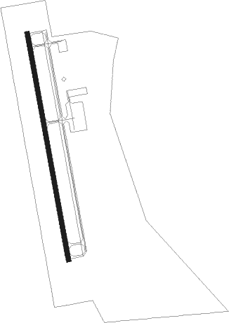
Runway info
| Runway 17 / 35 | ||
| length | 1527m (5010ft) | |
| bearing | 173° / 353° | |
| width | 30m (100ft) | |
| surface | asphalt | |
Nearby beacons
| code | identifier | dist | bearing | frequency |
|---|---|---|---|---|
| JH | BRENZ (JACKSON) NDB | 30 | 157° | 260 |
| MHZ | MAGNOLIA (MADISON) VORTAC | 32.6 | 141° | 113.20 |
| JA | ALLEN (JACKSON) NDB | 33.2 | 144° | 365 |
| SQS | SIDON VORTAC | 36 | 18° | 114.70 |
| MTQ | METCALF (GREENVILLE) NDB | 41.6 | 316° | 359 |
| GLH | GREENVILLE VOR/DME | 46.4 | 321° | 114.25 |
| GW | TEOCK NDB | 46.6 | 28° | 349 |
| TKH | TALLULAH (VICKSBURG/TALLULAH) NDB | 47.7 | 221° | 344 |
Instrument approach procedures
| runway | airway (heading) | route (dist, bearing) |
|---|---|---|
| RW17 | ARUKY (173°) | ARUKY 2000ft |
| RNAV | ARUKY 2000ft UTDOL (5mi, 173°) 1600ft FEMIK (2mi, 173°) 920ft 87I (3mi, 173°) 139ft (5429mi, 110°) 460ft UTASY (5428mi, 290°) 2000ft UTASY (turn) | |
| RW35 | UTASY (353°) | UTASY 2000ft |
| RNAV | UTASY 2000ft TEZLU (5mi, 353°) 1800ft ZIGEL (3mi, 353°) 920ft 87I (3mi, 353°) 139ft (5429mi, 110°) 460ft ARUKY (5430mi, 290°) 2000ft ARUKY (turn) |
Disclaimer
The information on this website is not for real aviation. Use this data with the X-Plane flight simulator only! Data taken with kind consent from X-Plane 12 source code and data files. Content is subject to change without notice.