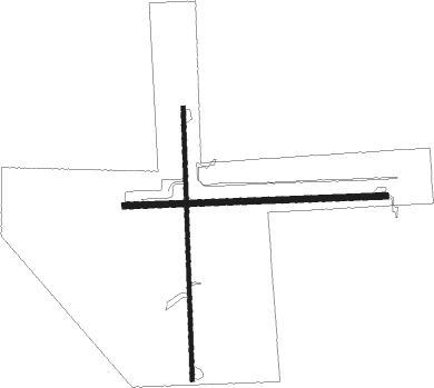
Kelleys Island - Kelleys Island Land Fld
Airport details
| Country | United States of America |
| State | Ohio |
| Region | |
| Airspace | Cleveland Ctr |
| Municipality | Kelleys Island |
| Elevation | 598ft (182m) |
| Timezone | GMT -5 |
| Coordinates | 41.60318, -82.68505 |
| Magnetic var | |
| Type | land |
| Available since | X-Plane v10.40 |
| ICAO code | 89D |
| IATA code | n/a |
| FAA code | 89D |
Communication
| Kelleys Island Land Fld CTAF | 122.900 |
Nearby Points of Interest:
Glacial Grooves State Memorial
-First Congregational Church
-Perry's memorial lighthouse
-Johnson's Island
-Feick Building
-Odd Fellows Hall
-Adams Street Double House
-Engine House No. 3
-Eleutheros Cooke House
-Erie County Jail
-Carnegie Library
-Engine House No. 1
-John Mertz House
-St. Mary's Rectory
-John Stang House
-St. Stephen's AME Church
-No. 5 Fire Station
-Taylor-Frohman House
-Erie County Infirmary
-Abbott-Page House
-Masonic Temple Building
-First Baptist Church
-Franks Site
-John Wright Mansion

Nearby beacons
| code | identifier | dist | bearing | frequency |
|---|---|---|---|---|
| PCW | PORT CLINTON NDB | 9.6 | 245° | 423 |
| DJB | DRYER VOR/DME | 27.7 | 115° | 113.60 |
| RYS | GROSSE ILE (DETROIT) NDB | 36.5 | 317° | 419 |
| TII | TIFFIN NDB | 38.7 | 226° | 269 |
| QG | WINDSOR NDB | 43.3 | 346° | 353 |
| CRL | CARLETON VOR/DME | 43.6 | 300° | 115.70 |
| DM | SPENC (DETROIT) NDB | 43.6 | 320° | 223 |
| MFD | MANSFIELD VORTAC | 44.3 | 173° | 108.80 |
| DT | REVUP (DETROIT) NDB | 45.5 | 305° | 388 |
| DXO | DETROIT VOR/DME | 47.6 | 312° | 113.40 |
| MF | MANNS (MANSFIELD) NDB | 51.4 | 164° | 372 |
| BUD | BUCKEYE (MARION) VOR | 61.6 | 201° | 109.80 |
| SVM | SALEM VORTAC | 63.1 | 312° | 114.30 |
Disclaimer
The information on this website is not for real aviation. Use this data with the X-Plane flight simulator only! Data taken with kind consent from X-Plane 12 source code and data files. Content is subject to change without notice.