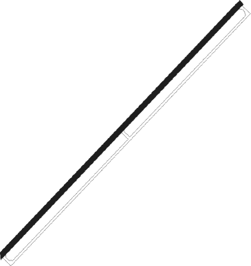
Alexandria Bay - Maxson
Airport details
| Country | United States of America |
| State | New York |
| Region | |
| Airspace | Boston Ctr |
| Municipality | Town of Alexandria |
| Elevation | 339ft (103m) |
| Timezone | GMT -5 |
| Coordinates | 44.31277, -75.90580 |
| Magnetic var | |
| Type | land |
| Available since | X-Plane v10.40 |
| ICAO code | 89N |
| IATA code | n/a |
| FAA code | n/a |
Communication
| MAXSON CTAF/UNICOM | 122.800 |
Nearby Points of Interest:
Holland Library
-Cornwall Brothers' Store
-George C. Boldt Yacht House
-Methodist Episcopal Church (Orleans, New York)
-Methodist-Protestant Church at Fisher's Landing
-Rock Island Light
-Thousand Island Park Historic District
-Central Garage
-La Farge Land Office
-La Farge Retainer Houses
-La Fargeville United Methodist Church
-Capt. Simon Johnston House
-Clayton Historic District
-Fairview Manor
-Dr. Abner Benton House
-George Brothers Building
-Gen. Jacob Brown Mansion
-William Archer House
-United States Post Office
-Dexter Universalist Church
-Thomas Memorial AME Zion Church
-Jacob Ford House
-Morristown Schoolhouse
-United Methodist Church (Morristown, New York)
-Paschal Miller House
Nearby beacons
| code | identifier | dist | bearing | frequency |
|---|---|---|---|---|
| ART | WATERTOWN VORTAC | 22.7 | 204° | 109.80 |
| YGK | KINGSTON NDB | 30 | 269° | 263 |
| OG | OGIVE (OGDENSBURG) NDB | 33.2 | 55° | 358 |
| MS | MISSE (MASSENA) NDB | 53.3 | 61° | 278 |
Disclaimer
The information on this website is not for real aviation. Use this data with the X-Plane flight simulator only! Data taken with kind consent from X-Plane 12 source code and data files. Content is subject to change without notice.
