Lajitas - Lajitas Intl
Airport details
| Country | United States of America |
| State | Texas |
| Region | K4 |
| Airspace | Albuquerque Ctr |
| Municipality | Brewster County |
| Elevation | 2627ft (801m) |
| Timezone | GMT -6 |
| Coordinates | 29.27735, -103.69296 |
| Magnetic var | |
| Type | land |
| Available since | X-Plane v10.40 |
| ICAO code | 89TE |
| IATA code | n/a |
| FAA code | T89 |
Communication
| Lajitas Intl CTAF | 122.900 |
Nearby Points of Interest:
Luna Jacal
-Rancho Estelle
-Castolon Historic District
-Homer Wilson Ranch
-Panther Junction Mission 66 Historic District
-Mariscal Mine
-Big Bend Ranch State Park
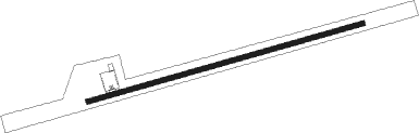
Runway info
| Runway 7 / 25 | ||
| length | 1823m (5981ft) | |
| bearing | 80° / 260° | |
| width | 30m (100ft) | |
| surface | asphalt | |
Disclaimer
The information on this website is not for real aviation. Use this data with the X-Plane flight simulator only! Data taken with kind consent from X-Plane 12 source code and data files. Content is subject to change without notice.