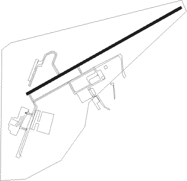
Guntersville - Guntersville Joe Starnes Field
Airport details
| Country | United States of America |
| State | Alabama |
| Region | K7 |
| Airspace | Memphis Ctr |
| Municipality | Marshall County |
| Elevation | 615ft (187m) |
| Timezone | GMT -6 |
| Coordinates | 34.40172, -86.26578 |
| Magnetic var | |
| Type | land |
| Available since | X-Plane v10.40 |
| ICAO code | 8A1 |
| IATA code | n/a |
| FAA code | n/a |
Communication
| Guntersville Joe Starnes Field CTAF/UNICOM | 122.800 |
| Guntersville Joe Starnes Field HUNTSVILLE Approach | 125.600 |
| Guntersville Joe Starnes Field HUNTSVILLE Departure | 125.600 |
Nearby Points of Interest:
Henry-Jordan House
-Albert G. Henry, Jr., House
-Guntersville Post Office
-Downtown Guntersville Historic District
-Old Rock School
-Company E of the 167th Infantry of the Alabama National Guard Armory
-Saratoga Victory Mill
-United States Post Office
-Albertville Depot
-Butlers' Store
-Edward Fenns Whitman House
-Thomas A. Snellgrove Homestead
-Robert G. Griffith, Sr. House
-Newsome Sinks Karst Area
-Gurley Historic District
-Dancy-Polk House
-Brown-Proctor House
-Public Square Historic District
-Scottsboro Memphis and Charleston Railroad Depot
-College Hill Historic District
-Steger-Nance House
-Joel Eddins House
-Propulsion and Structural Test Facility
-Saturn V Dynamic Test Stand
-Monte Sano Railroad Workers' House
Nearby beacons
| code | identifier | dist | bearing | frequency |
|---|---|---|---|---|
| GAD | GADSDEN VOR/DME | 27.1 | 157° | 112.30 |
| RQZ | ROCKET (HUNTSVILLE) VORTAC | 29.9 | 317° | 112.20 |
| DCU | DME | 36.4 | 290° | 112.80 |
| TDG | DME | 50.8 | 165° | 108.80 |
| VUZ | VULCAN (BIRMINGHAM) VORTAC | 54 | 221° | 114.40 |
| AN | BOGGA (ANNISTON) NDB | 54.6 | 159° | 211 |
| BH | MCDEN (BIRMINGHAM) NDB | 60.7 | 213° | 224 |
Instrument approach procedures
| runway | airway (heading) | route (dist, bearing) |
|---|---|---|
| RW07 | JOPED (69°) | JOPED 3000ft |
| RNAV | JOPED 3000ft JUVAT (4mi, 69°) 2700ft PUNJI (2mi, 69°) 2600ft CATGO (3mi, 69°) 1660ft 8A1 (3mi, 69°) 660ft (5220mi, 112°) 1400ft JOPED (5232mi, 292°) 3000ft JOPED (turn) | |
| RW25 | HANVI (249°) | HANVI 3100ft |
| RNAV | HANVI 3100ft ODAVE (8mi, 249°) 2800ft FIRLO (3mi, 249°) 1740ft 8A1 (4mi, 249°) 665ft (5220mi, 112°) 1015ft JOPED (5232mi, 292°) 3000ft JOPED (turn) |
Disclaimer
The information on this website is not for real aviation. Use this data with the X-Plane flight simulator only! Data taken with kind consent from X-Plane 12 source code and data files. Content is subject to change without notice.