Cadiz - Harrison Co
Airport details
| Country | United States of America |
| State | Ohio |
| Region | K5 |
| Airspace | Cleveland Ctr |
| Municipality | Cadiz |
| Elevation | 1170ft (357m) |
| Timezone | GMT -5 |
| Coordinates | 40.23836, -81.01289 |
| Magnetic var | |
| Type | land |
| Available since | X-Plane v10.40 |
| ICAO code | 8G6 |
| IATA code | n/a |
| FAA code | n/a |
Communication
| Harrison Co CTAF/UNICOM | 122.800 |
Nearby Points of Interest:
Harrison County Courthouse
-Harrison National Bank
-Franklin College Building No. 5
-Ourant's School
-Deersville Historic District
-Great Western Schoolhouse
-Opatrny Village Site
-Benjamin Lundy House
-Friends Meetinghouse
-Belmont County Courthouse
-St. Clairsville Historic District
-John Reaves House
-Dr. Lindley Schooley House and Office
-Henry Law Farm Historic District
-Kilgore Union Presbyterian Church
-James Kinney Farmstead
-Stringer Stone House
-Thomas T. and Wesley B. Frasier Houses
-Joseph Kirkwood House
-Tower Site
-John McLure House
-Henry K. List House
-Wheeling Suspension Bridge
-Harry C. and Jessie F. Franzheim House
-Robert C. Woods House
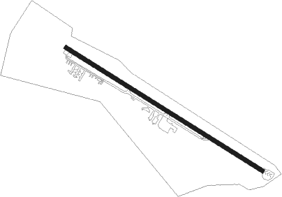
Runway info
| Runway 13 / 31 | ||
| length | 1264m (4147ft) | |
| bearing | 119° / 299° | |
| width | 23m (75ft) | |
| surface | asphalt | |
| displ threshold | 266m (873ft) / 128m (420ft) | |
Nearby beacons
| code | identifier | dist | bearing | frequency |
|---|---|---|---|---|
| CFX | CADIZ NDB | 0 | 194° | 239 |
| AIR | BELLAIRE VOR/DME | 16 | 139° | 117.10 |
| HLG | WHEELING VOR/DME | 20.4 | 87° | 112.20 |
| CTW | DME | 21.2 | 269° | 111.80 |
| BSV | BRIGGS VOR/DME | 35.7 | 320° | 112.40 |
| MMJ | (PITTSBURGH) DME | 40.3 | 73° | 112 |
| ZZV | ZANESVILLE VOR/DME | 44.1 | 251° | 114.95 |
| AGC | ALLEGHENY (PITTSBURGH) VOR/DME | 44.6 | 88° | 110 |
| EWC | ELLWOOD CITY VOR/DME | 50.7 | 54° | 115.80 |
| JPU | PARKERSBURG VOR/DME | 50.7 | 204° | 108.60 |
| AK | AKRON NDB | 52.7 | 336° | 362 |
| ACO | AKRON VOR/DME | 52.9 | 348° | 114.40 |
| UCP | CASTLE (NEW CASTLE) NDB | 54.4 | 37° | 272 |
| YN | FETCH (YOUNGSTOWN/WARREN) NDB | 60.8 | 23° | 338 |
| PK | VERSI (PARKERSBURG) NDB | 63 | 206° | 388 |
| CKB | CLARKSBURG VOR/DME | 68.4 | 143° | 112.60 |
Instrument approach procedures
| runway | airway (heading) | route (dist, bearing) |
|---|---|---|
| RW13 | CUHSU (119°) | CUHSU 3000ft |
| RNAV | CUHSU 3000ft EBBEP (6mi, 119°) 2800ft RUVRE (3mi, 119°) 1980ft 8G6 (3mi, 119°) 1201ft (4994mi, 116°) 1574ft SUXPU (4984mi, 296°) 3100ft SUXPU (turn) | |
| RW31 | SUXPU (299°) | SUXPU 3100ft |
| RNAV | SUXPU 3100ft PUYCO (6mi, 300°) 2800ft JOLMU (3mi, 299°) 1940ft 8G6 (3mi, 299°) 1149ft (4994mi, 116°) 1574ft CUHSU (5004mi, 296°) 3000ft CUHSU (turn) |
Disclaimer
The information on this website is not for real aviation. Use this data with the X-Plane flight simulator only! Data taken with kind consent from X-Plane 12 source code and data files. Content is subject to change without notice.