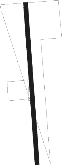
Rochester - Wyoming
Airport details
| Country | United States of America |
| State | Illinois |
| Region | |
| Airspace | Chicago Ctr |
| Municipality | Stark County |
| Elevation | 720ft (219m) |
| Timezone | GMT -6 |
| Coordinates | 41.04736, -89.77534 |
| Magnetic var | |
| Type | land |
| Available since | X-Plane v10.40 |
| ICAO code | 8LL3 |
| IATA code | n/a |
| FAA code | 8LL3 |
Communication
Nearby Points of Interest:
Chicago, Burlington & Quincy Railroad Depot
-Washington C. Wear House
-Ryan Round Barn
-Galva Opera House
-Olof Johnson House
-Frederick Francis Woodland Palace
-Robert Waugh House
-Cortland Condit House
-Stevens House
-Christ Church of Lower Kickapoo
-J. Newton Conger House
-Peoria Waterworks
-John C. Flanagan House Museum
-Pleasant Grove School
-Pettingill-Morron House
-Peoria Mineral Springs
-West Bluff Historic District
-North Side Historic District
-Kickapoo Building
-Annawan Chapter House
-Marquette Apartments
-Illinois Waterway Project Office
-Peoria Federal Building and U.S. Courthouse
-Judge Jacob Gale House
-Grand Army of the Republic Memorial Hall
Nearby beacons
| code | identifier | dist | bearing | frequency |
|---|---|---|---|---|
| BDF | BRADFORD VORTAC | 10.8 | 59° | 114.70 |
| PIA | PEORIA VORTAC | 22 | 183° | 115.20 |
| PI | TUNGG (PEORIA) NDB | 27.7 | 158° | 356 |
| GBG | DME | 30.6 | 261° | 109.80 |
| MZV | MOLINE VOR/DME | 42.3 | 288° | 114.40 |
| JZY | MACOMB NDB | 47.8 | 236° | 251 |
| LH | EGROW (BLOOMINGTON-NORMAL) NDB | 50.3 | 118° | 334 |
| FN | HILLZ (CLINTON) NDB | 50.5 | 319° | 517 |
| CVA | DAVENPORT VORTAC | 50.9 | 313° | 113.80 |
| BMI | BLOOMINGTON VOR/DME | 51.3 | 124° | 108.20 |
| PLL | POLO VOR/DME | 56.2 | 15° | 111.20 |
| AAA | ABRAHAM (LINCOLN) NDB | 56.8 | 154° | 329 |
Disclaimer
The information on this website is not for real aviation. Use this data with the X-Plane flight simulator only! Data taken with kind consent from X-Plane 12 source code and data files. Content is subject to change without notice.
