Baldwyn - Booneville-baldwyn
Airport details
| Country | United States of America |
| State | Mississippi |
| Region | K7 |
| Airspace | Memphis Ctr |
| Municipality | Prentiss County |
| Elevation | 381ft (116m) |
| Timezone | GMT -6 |
| Coordinates | 34.59186, -88.64850 |
| Magnetic var | |
| Type | land |
| Available since | X-Plane v10.40 |
| ICAO code | 8M1 |
| IATA code | n/a |
| FAA code | n/a |
Communication
| Booneville-Baldwyn CTAF/UNICOM | 122.800 |
Nearby Points of Interest:
Ripley Historic District
-Old U.S. Post Office
-North Broadway Historic District
-Tombigbee State Park
-Downtown Corinth Historic District
-Midtown Corinth Historic District
-Siege and Battle of Corinth Sites
-Tishomingo State Park
-Church of Our Saviour
-Natchez Trace Trail
-Pocahontas School
-Falls Mill
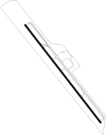
Runway info
| Runway 15 / 33 | ||
| length | 1527m (5010ft) | |
| bearing | 141° / 321° | |
| width | 23m (75ft) | |
| surface | asphalt | |
Nearby beacons
| code | identifier | dist | bearing | frequency |
|---|---|---|---|---|
| OTB | TUPELO VOR/DME | 23.3 | 202° | 109.80 |
| TU | VERON (TUPELO) NDB | 25.4 | 196° | 420 |
| UU | SEYER (CORINTH) NDB | 25.4 | 4° | 334 |
| HAB | DME | 39.4 | 122° | 110.40 |
| HLI | HOLLY SPRINGS VORTAC | 43.2 | 282° | 112.40 |
| UV | TUNNG (OXFORD) NDB | 49.9 | 258° | 426 |
| MKL | MERSY (JACKSON) NDB | 57.5 | 342° | 394 |
| CBM | CALEDONIA (COLUMBUS) VORTAC | 58 | 168° | 115.20 |
Instrument approach procedures
| runway | airway (heading) | route (dist, bearing) |
|---|---|---|
| RW15 | JOLIB (141°) | JOLIB 2500ft |
| RNAV | JOLIB 2500ft JUNFU (6mi, 141°) 2000ft HOGAB (3mi, 141°) 1160ft 8M1 (3mi, 141°) 447ft (5338mi, 111°) 777ft MANIL (5332mi, 291°) 2500ft MANIL (turn) | |
| RW33 | MANIL (321°) | MANIL 2500ft |
| RNAV | MANIL 2500ft DASWY (6mi, 321°) 2000ft JETEB (3mi, 321°) 1120ft 8M1 (3mi, 321°) 425ft (5338mi, 111°) 679ft JOLIB (5345mi, 291°) 2500ft JOLIB (turn) |
Disclaimer
The information on this website is not for real aviation. Use this data with the X-Plane flight simulator only! Data taken with kind consent from X-Plane 12 source code and data files. Content is subject to change without notice.