Dayton - Skydive Chicago
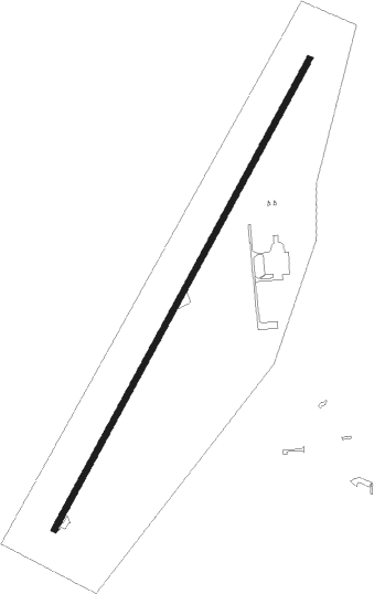
Airport details
| Country | United States of America |
| State | Illinois |
| Region | K5 |
| Airspace | Chicago Ctr |
| Municipality | LaSalle County |
| Elevation | 616ft (188m) |
| Timezone | GMT -6 |
| Coordinates | 41.39978, -88.79391 |
| Magnetic var | |
| Type | land |
| Available since | X-Plane v10.40 |
| ICAO code | 8N2 |
| IATA code | n/a |
| FAA code | n/a |
Communication
| SKYDIVE CHICAGO UNICOM | 122.725 |
| SKYDIVE CHICAGO CTAF | 122.725 |
Nearby Points of Interest:
Andrew J. O'Conor III House
-Jeremiah Strawn House
-Ottawa Commercial Historic District
-Washington Park Historic District
-Knuessl Building
-John Hossack House
-Fisher-Nash-Griggs House
-Marseilles Lock and Dam Historic District
-Marseilles Hydro Plant
-Chicago, Rock Island and Pacific Railroad Depot
-Hauge Lutheran Church
-Grand Village of the Illinois
-Armour's Warehouse
-Nisbet Homestead Farm
-Hegeler Carus Mansion
-Julius W. Hegeler I House
-LaSalle City Building
-LaSalle Downtown Commercial District
-Ruffin Drew Fletcher House
-Silas Williams House
-Coleman Hardware Company Building
-Von KleinSmid Mansion
-Sandwich City Hall
-Streator Public Library
-Morris Wide Water Canal Boat Site
Nearby beacons
| code | identifier | dist | bearing | frequency |
|---|---|---|---|---|
| DTG | DWIGHT NDB | 22.7 | 127° | 344 |
| JOT | JOLIET VOR/DME | 23.1 | 73° | 112.30 |
| PNT | PONTIAC VOR/DME | 34.8 | 174° | 109.60 |
| DPA | DUPAGE (CHICAGO) VOR/DME | 35.5 | 42° | 108.40 |
| BDF | BRADFORD VORTAC | 38.6 | 253° | 114.70 |
| IK | LUKOW (KANKAKEE) NDB | 46.2 | 113° | 272 |
| IKK | DME | 46.8 | 109° | 111.60 |
| PLL | POLO VOR/DME | 47.2 | 308° | 111.20 |
| LH | EGROW (BLOOMINGTON-NORMAL) NDB | 50.5 | 185° | 334 |
| RFD | DME | 52.8 | 334° | 110.80 |
| GCO | DME | 53.5 | 56° | 108.25 |
| BMI | BLOOMINGTON VOR/DME | 55.5 | 189° | 108.20 |
| RBS | ROBERTS VOR/DME | 56.8 | 142° | 116.80 |
| PI | TUNGG (PEORIA) NDB | 59.8 | 225° | 356 |
| OBK | NORTHBROOK VOR/DME | 62 | 46° | 113 |
| PIA | PEORIA VORTAC | 62.5 | 234° | 115.20 |
Disclaimer
The information on this website is not for real aviation. Use this data with the X-Plane flight simulator only! Data taken with kind consent from X-Plane 12 source code and data files. Content is subject to change without notice.