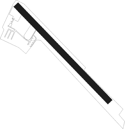
Durham - Lake Ridge Aero Park
Airport details
| Country | United States of America |
| State | North Carolina |
| Region | |
| Airspace | Washington Ctr |
| Municipality | Durham County |
| Elevation | 309ft (94m) |
| Timezone | GMT -5 |
| Coordinates | 36.06339, -78.78599 |
| Magnetic var | |
| Type | land |
| Available since | X-Plane v10.40 |
| ICAO code | 8NC8 |
| IATA code | n/a |
| FAA code | 8NC8 |
Communication
Nearby Points of Interest:
Stagville
-Horton Grove
-James Mangum House
-First National Bank Building
-West Durham Historic District
-Dillard-Gamble Houses
-North Durham-Duke Park District
-Ephphatha Church
-Durham Hosiery Mills Dye House
-Cleveland Street District
-Holloway Street District
-Pearl Mill Village Historic District
-Golden Belt Historic District
-Foster and West Geer Streets Historic District
-City Garage Yard and Fire Drill Tower
-Erwin Cotton Mills Company Mill No. 1 Headquarters Building
-Durham Hosiery Mill
-Bullington Warehouse
-Bright Leaf Historic District
-Downtown Durham Historic District
-Cranford-Wannamaker House
-Bassett House
-Pegram House
-Durham Cotton Mills Village Historic District
-Crowell House
Nearby beacons
| code | identifier | dist | bearing | frequency |
|---|---|---|---|---|
| LE | LEEVY (RALEIGH/DURHAM) NDB | 8.7 | 155° | 350 |
| RDU | RALEIGH-DURHAM VORTAC | 11.4 | 179° | 117.20 |
| HXO | HUNTSBORO (OXFORD) NDB | 16.4 | 35° | 271 |
| HUR | PERSON (ROXBORO) NDB | 16.9 | 301° | 220 |
| HQT | HARNETT (ERWIN) NDB | 38.2 | 170° | 417 |
| SBV | SOUTH BOSTON VORTAC | 38.3 | 340° | 110.40 |
| HB | ALAMM NDB | 39.1 | 264° | 361 |
| JN | JURLY (SMITHFIELD) NDB | 39.4 | 148° | 263 |
| DAN | DANVILLE VOR | 40.3 | 313° | 113.10 |
| LIB | LIBERTY VORTAC | 42.9 | 253° | 113 |
| POB | POPE (FAYETTEVILLE) NDB | 50.9 | 191° | 338 |
| SIF | SLAMMER (REIDSVILLE) NDB | 51 | 288° | 423 |
| POB | POPE (FAYETTEVILLE) TACAN | 54.9 | 195° | 113.80 |
| FGP | FORT BRAGG NDB | 55.5 | 182° | 393 |
| GSB | SEYMOUR JOHNSON TACAN | 59 | 132° | 116.50 |
| LVL | LAWRENCEVILLE VORTAC | 62.2 | 49° | 112.90 |
| SDZ | SANDHILLS (SOUTHERN PINES VORTAC | 64.2 | 223° | 111.80 |
Disclaimer
The information on this website is not for real aviation. Use this data with the X-Plane flight simulator only! Data taken with kind consent from X-Plane 12 source code and data files. Content is subject to change without notice.