Polson
Airport details
| Country | United States of America |
| State | Montana |
| Region | K1 |
| Airspace | Salt Lake City Ctr |
| Municipality | Polson |
| Elevation | 2938ft (896m) |
| Timezone | GMT -7 |
| Coordinates | 47.69545, -114.18528 |
| Magnetic var | |
| Type | land |
| Available since | X-Plane v10.40 |
| ICAO code | 8S1 |
| IATA code | n/a |
| FAA code | n/a |
Communication
| Polson CTAF/UNICOM | 122.800 |
| Polson SALT LAKE CNTR | 133.400 |
Nearby Points of Interest:
Big Arm School
-Don E. Olsson House and Garage
-Dayton State Bank
-Fort Connah Site
-St. Joseph's Catholic Church
Nearby beacons
| code | identifier | dist | bearing | frequency |
|---|---|---|---|---|
| SAK | SMITH LAKE (KALISPELL) NDB | 27.1 | 326° | 515 |
| FCA | KALISPELL VOR/DME | 31.1 | 1° | 113.20 |
| MSO | MISSOULA VOR/DME | 47.4 | 173° | 112.80 |
Departure and arrival routes
| Transition altitude | 18000ft |
| Transition level | 18000ft |
| SID end points | distance | outbound heading | |
|---|---|---|---|
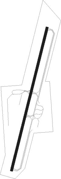
| RW36 | |||
| ANGIL1 | 16mi | 6° | |
Instrument approach procedures
| runway | airway (heading) | route (dist, bearing) |
|---|---|---|
| RW18 | FCA (181°) | FCA 8000ft JAGEL (10mi, 152°) 8000ft ITONE (5mi, 187°) 7000ft |
| RNAV | ITONE 7000ft KULTE (9mi, 187°) 5500ft HALSO (3mi, 207°) 4560ft 8S1 (5mi, 206°) 2967ft (6366mi, 113°) 3341ft POLAE (6375mi, 293°) 9200ft POLAE (turn) | |
| RW36 | ARLEE (351°) | ARLEE CABLI (18mi, 327°) 8500ft GORTE (5mi, 291°) 8100ft |
| RW36 | EDOBE (73°) | EDOBE FABID (18mi, 86°) 8500ft GORTE (5mi, 111°) 8100ft |
| RW36 | GORTE (40°) | GORTE 8100ft |
| RNAV | GORTE 8100ft DODSE (6mi, 40°) 6400ft BESKE (5mi, 40°) 4800ft MIGSE (4mi, 40°) 3287ft (6367mi, 113°) 4500ft GORTE (6379mi, 293°) 9000ft GORTE (turn) |
Disclaimer
The information on this website is not for real aviation. Use this data with the X-Plane flight simulator only! Data taken with kind consent from X-Plane 12 source code and data files. Content is subject to change without notice.