Ukiah - Cable Creek Ranch
Airport details
| Country | United States of America |
| State | Oregon |
| Region | |
| Airspace | Seattle Ctr |
| Municipality | Umatilla County |
| Elevation | 4060ft (1237m) |
| Timezone | GMT -8 |
| Coordinates | 45.10492, -118.82428 |
| Magnetic var | |
| Type | land |
| Available since | X-Plane v10.40 |
| ICAO code | 96OR |
| IATA code | n/a |
| FAA code | 96OR |
Communication
Nearby Points of Interest:
Fremont Powerhouse
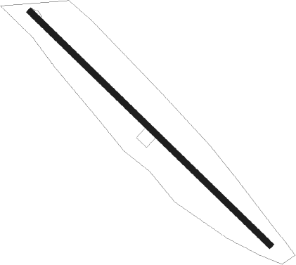
Runway info
| Runway 12 / 30 | ||
| length | 1456m (4777ft) | |
| bearing | 129° / 309° | |
| width | 27m (90ft) | |
| surface | asphalt | |
Nearby beacons
| code | identifier | dist | bearing | frequency |
|---|---|---|---|---|
| PDT | PENDLETON VORTAC | 35.9 | 349° | 114.70 |
| LGD | LA GRANDE NDB | 39.1 | 75° | 296 |
| IMB | KIMBERLY VOR/DME | 46.6 | 243° | 115.60 |
| ALW | WALLA WALLA VOR/DME | 63 | 28° | 116.40 |
Disclaimer
The information on this website is not for real aviation. Use this data with the X-Plane flight simulator only! Data taken with kind consent from X-Plane 12 source code and data files. Content is subject to change without notice.