Genoa - Genoa Muni
Airport details
| Country | United States of America |
| State | Nebraska |
| Region | |
| Airspace | Minneapolis Ctr |
| Municipality | Nance County |
| Elevation | 1569ft (478m) |
| Timezone | GMT -6 |
| Coordinates | 41.40622, -97.71353 |
| Magnetic var | |
| Type | land |
| Available since | X-Plane v10.40 |
| ICAO code | 97Y |
| IATA code | n/a |
| FAA code | 97Y |
Communication
Nearby Points of Interest:
Genoa Indian Industrial School
-Monroe Congregational Church and New Hope Cemetery
-Evangelical United Brethren Church
-Moses Merrill Baptist Camp
-Polk County Courthouse
-Gov. John Hopwood Mickey House
-Platte County Courthouse
-H.E. Snyder House
-Glur's Tavern
-Frederick L. and L. Frederick Gottschalk Houses
-Walter and Ruby Behlen House
-C. Segelke Building
-Albert and Lina Stenger House
-Charles H. Morrill Homestead
-Humphrey City Hall
-Heber Hord House
-United States Post Office
-Cedar Rapids City Hall and Library
-Patterson Law Office
-St. Anthony's Church and School
-Merrick County Courthouse
-Riverside Park Dance Pavilion
-Wright Morris Boyhood House
-W.S. Jeffery Farmstead
-Surprise Opera House
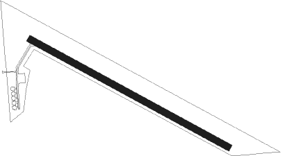
Runway info
| Runway 11 / 29 | ||
| length | 763m (2503ft) | |
| bearing | 116° / 296° | |
| width | 23m (75ft) | |
| surface | grass | |
Nearby beacons
| code | identifier | dist | bearing | frequency |
|---|---|---|---|---|
| PLT | PLATTE CENTER (COLUMBUS) NDB | 15.8 | 75° | 407 |
| OLU | COLUMBUS VOR/DME | 16.9 | 83° | 111.80 |
| OBH | WOLBACH VORTAC | 28.8 | 267° | 114.80 |
| JYR | YORK NDB | 30.8 | 169° | 257 |
| GRI | GRAND ISLAND VOR/DME | 37.1 | 235° | 112 |
| OFK | NORFOLK VOR/DME | 37.1 | 26° | 109.60 |
| GR | SANCY NDB | 42 | 228° | 380 |
| FMZ | BEKLOF (FAIRMONT) NDB | 49.4 | 170° | 392 |
| LNK | LINCOLN VORTAC | 52.6 | 116° | 116.10 |
| HSI | HASTINGS VOR/DME | 58 | 222° | 108.80 |
| LN | POTTS (LINCOLN) NDB | 58.4 | 125° | 385 |
Disclaimer
The information on this website is not for real aviation. Use this data with the X-Plane flight simulator only! Data taken with kind consent from X-Plane 12 source code and data files. Content is subject to change without notice.