Bishop - North Valley
Airport details
| Country | United States of America |
| State | Nevada |
| Region | |
| Airspace | Oakland Ctr |
| Municipality | Esmeralda County |
| Elevation | 4958ft (1511m) |
| Timezone | GMT -8 |
| Coordinates | 37.87568, -118.09493 |
| Magnetic var | |
| Type | land |
| Available since | X-Plane v10.40 |
| ICAO code | 9CA6 |
| IATA code | n/a |
| FAA code | 9CA6 |
Communication
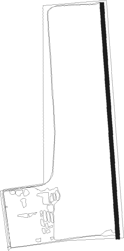
Runway info
| Runway 16 / 34 | ||
| length | 1659m (5443ft) | |
| bearing | 181° / 1° | |
| width | 28m (92ft) | |
| surface | dirt | |
Nearby beacons
| code | identifier | dist | bearing | frequency |
|---|---|---|---|---|
| OAL | COALDALE VORTAC | 17.1 | 69° | 117.70 |
| BIH | BISHOP VOR/DME | 32.6 | 209° | 109.60 |
| MVA | MINA VORTAC | 41.5 | 5° | 115.10 |
Disclaimer
The information on this website is not for real aviation. Use this data with the X-Plane flight simulator only! Data taken with kind consent from X-Plane 12 source code and data files. Content is subject to change without notice.