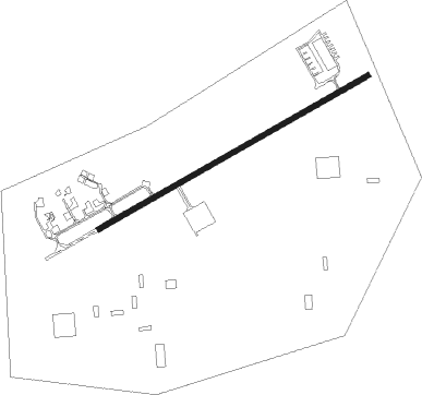
Dayton - Dayton Valley Airpark
Airport details
| Country | United States of America |
| State | Nevada |
| Region | K2 |
| Airspace | Oakland Ctr |
| Municipality | Lyon County |
| Elevation | 4414ft (1345m) |
| Timezone | GMT -8 |
| Coordinates | 39.23841, -119.55544 |
| Magnetic var | |
| Type | land |
| Available since | X-Plane v10.40 |
| ICAO code | A34 |
| IATA code | n/a |
| FAA code | n/a |
Communication
| Dayton Valley Airpark AWOS-3PT | 119.925 |
| Dayton Valley Airpark CTAF | 122.900 |
| Dayton Valley Airpark Tower | 121.900 |
Nearby Points of Interest:
Virginia City Historic District
-Piper-Beebe House
-King-McBride Mansion
-George L. Sanford House
-Kitzmeyer Furniture Factory
-Carson City Civic Auditorium
-Leport-Toupin House
-Foreman-Roberts House
-Virginia and Truckee Railroad Depot
-Nevada State Printing Office
-Carson City Post Office
-David Smaill House
-Belknap House
-Nevada State Capitol
-Rinckel Mansion
-Lew M. Meder House
-Orion Clemens House
-Abraham Curry House
-Olcovich-Meyers House
-St. Peter's Episcopal Church
-West Side Historic District (Carson City, Nevada)
-Carson Brewing Company
-Gov. James W. Nye Mansion
-Sears-Ferris House
-Ormsby-Rosser House
Nearby beacons
| code | identifier | dist | bearing | frequency |
|---|---|---|---|---|
| FMG | MUSTANG (RENO) VORTAC | 18.1 | 341° | 117.90 |
| HZN | HAZEN VORTAC | 30.8 | 64° | 114.10 |
| SWR | SQUAW VALLEY(SOUTH LAKE T VOR/DME | 33.4 | 265° | 113.20 |
| NFL | FALLON TACAN | 40.9 | 78° | 113.50 |
| LLC | LOVELOCK VORTAC | 69.8 | 48° | 116.50 |
Disclaimer
The information on this website is not for real aviation. Use this data with the X-Plane flight simulator only! Data taken with kind consent from X-Plane 12 source code and data files. Content is subject to change without notice.