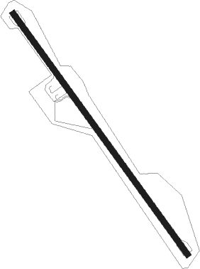
Gizo - Nusatupe
Airport details
| Country | Solomon Islands |
| State | Western |
| Region | AG |
| Airspace | Honiara Ctr |
| Elevation | 13ft (4m) |
| Timezone | GMT +11 |
| Coordinates | -8.09167, 156.86333 |
| Magnetic var | |
| Type | land |
| Available since | X-Plane v10.40 |
| ICAO code | AGGN |
| IATA code | GZO |
| FAA code | n/a |
Communication
Nearby beacons
| code | identifier | dist | bearing | frequency |
|---|---|---|---|---|
| MUD | MUNDA NDB | 27.3 | 121° | 400 |
Instrument approach procedures
| runway | airway (heading) | route (dist, bearing) |
|---|---|---|
| RW14 | DAKSI (147°) | DAKSI 3100ft |
| RW14 | ELMOR (169°) | ELMOR DAKSI (5mi, 218°) 3100ft |
| RW14 | GUSAK (125°) | GUSAK DAKSI (5mi, 78°) 3100ft |
| RNAV | DAKSI 3100ft GN556 (5mi, 148°) 1600ft AGGN (5mi, 146°) 50ft (9343mi, 273°) 1000ft DAKSI (9340mi, 93°) 3100ft | |
| RW32 | REPOK (308°) | REPOK RIGMA (5mi, 258°) 2500ft |
| RW32 | RIGMA (329°) | RIGMA 2500ft |
| RW32 | SASEK (350°) | SASEK RIGMA (5mi, 38°) 2500ft |
| RNAV | RIGMA 2500ft GN813 (5mi, 328°) 1600ft AGGN (6mi, 330°) 54ft (9343mi, 273°) 1000ft RIGMA (9345mi, 93°) 2500ft |
Disclaimer
The information on this website is not for real aviation. Use this data with the X-Plane flight simulator only! Data taken with kind consent from X-Plane 12 source code and data files. Content is subject to change without notice.
