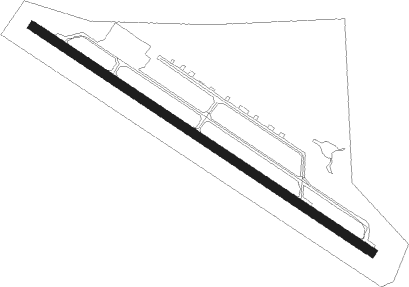
Qualicum Beach
Airport details
| Country | Canada |
| State | British Columbia |
| Region | CY |
| Airspace | Vancouver Ctr |
| Municipality | Qualicum Beach |
| Elevation | 188ft (57m) |
| Timezone | GMT -8 |
| Coordinates | 49.33932, -124.39583 |
| Magnetic var | |
| Type | land |
| Available since | X-Plane v10.40 |
| ICAO code | AT4 |
| IATA code | XQU |
| FAA code | n/a |
Communication
| Qualicum Beach CTAF | 122.800 |
Nearby Points of Interest:
Christian Science Society
Nearby beacons
| code | identifier | dist | bearing | frequency |
|---|---|---|---|---|
| YCD | NANAIMO NDB | 24.1 | 112° | 251 |
| UQQ | COMOX TACAN | 29.6 | 307° | 110.40 |
| YPW | POWELL RIVER NDB | 30.1 | 348° | 382 |
| YYJ | VICTORIA VOR/DME | 51.3 | 124° | 113.70 |
| MB | MILL BAY (VICTORIA) NDB | 52.4 | 128° | 293 |
| YBL | CAMPBELL RIVER NDB | 54.7 | 305° | 203 |
| YJ | VICTORIA NDB | 57.3 | 125° | 200 |
Disclaimer
The information on this website is not for real aviation. Use this data with the X-Plane flight simulator only! Data taken with kind consent from X-Plane 12 source code and data files. Content is subject to change without notice.