Hoskins
Airport details
| Country | Papua New Guinea |
| State | West New Britain |
| Region | AY |
| Airspace | Port Moresby Ctr |
| Municipality | Hoskins District |
| Elevation | 77ft (23m) |
| Timezone | GMT +10 |
| Coordinates | -5.46417, 150.40674 |
| Magnetic var | |
| Type | land |
| Available since | X-Plane v10.40 |
| ICAO code | AYHK |
| IATA code | HKN |
| FAA code | n/a |
Communication
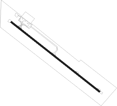
Runway info
| Runway 12 / 30 | ||
| length | 1903m (6243ft) | |
| bearing | 133° / 313° | |
| width | 30m (98ft) | |
| surface | asphalt | |
Instrument approach procedures
| runway | airway (heading) | route (dist, bearing) |
|---|---|---|
| RWNVA | YHKEA (275°) | YHKEA 5000ft YHKEI (9mi, 245°) 2500ft |
| RWNVA | YHKEC (323°) | YHKEC 5700ft YHKEI (9mi, 21°) 2500ft |
| RNAV | YHKEI 2500ft YHKEF (5mi, 291°) 2000ft YHKEZ (5mi, 291°) 1450ft YHKEM (3mi, 291°) 1390ft YHKEH (5mi, 291°) (9002mi, 272°) 5000ft | |
| RWNVB | YHKWD (105°) | YHKWD 5000ft YHKWI (6mi, 43°) 3450ft |
| RWNVB | YHKWE (133°) | YHKWE 5000ft YHKWI (6mi, 133°) 3450ft |
| RWNVB | YHKWG (161°) | YHKWG 5000ft YHKWI (6mi, 223°) 3450ft |
| RNAV | YHKWI 3450ft YHKWF (6mi, 133°) 1700ft YHKWM (4mi, 133°) 449ft (9005mi, 272°) 580ft YHKWH (9007mi, 92°) (9007mi, 272°) 5000ft |
Disclaimer
The information on this website is not for real aviation. Use this data with the X-Plane flight simulator only! Data taken with kind consent from X-Plane 12 source code and data files. Content is subject to change without notice.