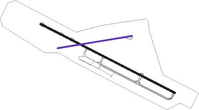
Mount Hagen
Airport details
| Country | Papua New Guinea |
| State | Western Highlands |
| Region | AY |
| Airspace | Port Moresby Ctr |
| Municipality | Mount Hagen |
| Elevation | 5360ft (1634m) |
| Timezone | GMT +10 |
| Coordinates | -5.82892, 144.30054 |
| Magnetic var | |
| Type | land |
| Available since | X-Plane v10.40 |
| ICAO code | AYMH |
| IATA code | HGU |
| FAA code | n/a |
Communication
| Mount Hagen AYMH ATIS | 128.400 |
| Mount Hagen Hagen Ground Control | 120.550 |
| Mount Hagen HAGEN Tower | 120.500 |
Departure and arrival routes
| Transition altitude | 20000ft |
| Transition level | 21000ft |
| STAR starting points | distance | inbound heading | |
|---|---|---|---|
| ALL | |||
| GUGPU1 | 85.4 | 325° | |
Instrument approach procedures
| runway | airway (heading) | route (dist, bearing) |
|---|---|---|
| RWNVA | YMHEA (230°) | YMHEA 12200ft YMHEI (10mi, 201°) 10000ft |
| RWNVA | YMHEB (268°) | YMHEB 10800ft YMHEI (6mi, 301°) 10000ft |
| RNAV | YMHEI 10000ft YMHEF (5mi, 271°) 8800ft YMHEM (8mi, 241°) 7830ft OTGIS (9mi, 241°) BETLA (66mi, 176°) 9400ft |
Disclaimer
The information on this website is not for real aviation. Use this data with the X-Plane flight simulator only! Data taken with kind consent from X-Plane 12 source code and data files. Content is subject to change without notice.

