Chino Valley - Morgan Ranch Airstrip
Airport details
| Country | United States of America |
| State | Arizona |
| Region | |
| Airspace | Albuquerque Ctr |
| Municipality | Yavapai County |
| Elevation | 5024ft (1531m) |
| Timezone | GMT -7 |
| Coordinates | 34.76632, -112.54918 |
| Magnetic var | |
| Type | land |
| Available since | X-Plane v10.40 |
| ICAO code | AZ46 |
| IATA code | n/a |
| FAA code | AZ46 |
Communication
Nearby Points of Interest:
Sacred Heart Catholic Church and Rectory
-Iron Turbine Windmill
-Prescott Elks Theater and Performing Arts Center
-First Congregational Church and Parsonage
-Prescott Public Library
-Yavapai County Courthouse
-United States Post Office and Courthouse–Prescott Main
-Arizona Pioneers' Home
-Fredericks House
-Walker Charcoal Kiln
-Mingus Lookout Complex
-Jerome Historic District
-Clarkdale Historic District
-Willard House (Cottonwood, Arizona)
-Building at 826 North Main Street
-Tuzigoot Museum
-Master Mechanic's House
-Mayer Red Brick Schoolhouse
-Barney Flat Historic Railroad Logging Landscape
-Camp Clover Ranger Station
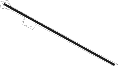
Runway info
| Runway 11 / 29 | ||
| length | 598m (1962ft) | |
| bearing | 118° / 298° | |
| width | 9m (30ft) | |
| surface | dirt | |
Nearby beacons
| code | identifier | dist | bearing | frequency |
|---|---|---|---|---|
| DRK | DRAKE (PRESCOTT) VORTAC | 5.1 | 133° | 114.10 |
| FLG | FLAGSTAFF VOR/DME | 48.7 | 66° | 113.85 |
| PGS | PEACH SPRINGS VOR/DME | 71 | 311° | 112 |
Disclaimer
The information on this website is not for real aviation. Use this data with the X-Plane flight simulator only! Data taken with kind consent from X-Plane 12 source code and data files. Content is subject to change without notice.