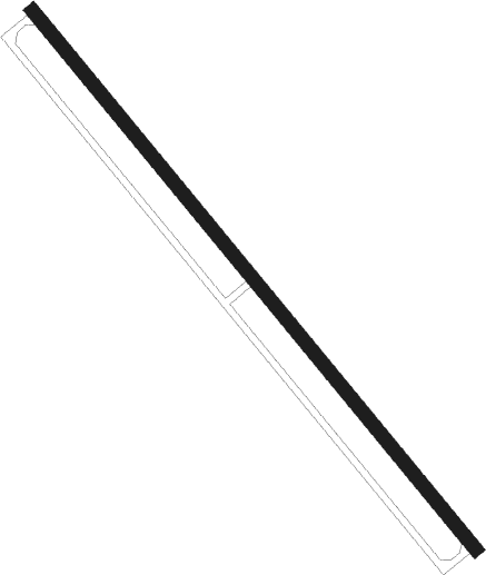
Granville
Airport details
| Country | United States of America |
| State | New York |
| Region | |
| Airspace | Boston Ctr |
| Municipality | Town of Granville |
| Elevation | 419ft (128m) |
| Timezone | GMT -5 |
| Coordinates | 43.42788, -73.26476 |
| Magnetic var | |
| Type | land |
| Available since | X-Plane v10.40 |
| ICAO code | B01 |
| IATA code | n/a |
| FAA code | B01 |
Communication
Nearby Points of Interest:
Dayton-Williams House
-United States Post Office
-South Granville Congregational Church and Parsonage
-Lemuel Haynes House
-Braintree School
-Nathan Allen House
-South Street Bridge
-Pawlet Town Hall
-Elisha Straight House
-Home Farm (East Whitehall, New York)
-Champlain Canal
-Hosford-Sherman Farm
-William Miller Chapel and Ascension Rock
-Hydeville School
-Hulett Farm
-Hager Farm
-Homer Waldo Farm
-Clarendon House
-West Rutland Town Hall
-West Haven Baptist Church
-Manley-Lefevre House
-Clementwood
-Cold River Bridge
-East Clarendon Railroad Station
Nearby beacons
| code | identifier | dist | bearing | frequency |
|---|---|---|---|---|
| RUT | DME | 14.9 | 73° | 111 |
| GF | GANSE (GLENS FALLS) NDB | 18.1 | 243° | 209 |
| DYO | SMUTO (RUTLAND) NDB | 21.4 | 48° | 221 |
| CAM | CAMBRIDGE VOR/DME | 26.2 | 190° | 115 |
| CNH | CLAREMONT NDB | 39.1 | 94° | 233 |
| AL | HAWKY (ALBANY) NDB | 43.7 | 222° | 219 |
| HEU | HUNTER (SCHENECTADY) NDB | 45.2 | 229° | 356 |
| ALB | ALBANY VORTAC | 47.2 | 218° | 115.30 |
| MPV | MONTPELIER VOR/DME | 53 | 51° | 116.90 |
| EEN | DME | 57.1 | 123° | 109.40 |
| BTV | BURLINGTON VOR/DME | 58.3 | 5° | 117.50 |
| SLK | LAKE DME | 70.3 | 316° | 109.20 |
Disclaimer
The information on this website is not for real aviation. Use this data with the X-Plane flight simulator only! Data taken with kind consent from X-Plane 12 source code and data files. Content is subject to change without notice.
