Biddeford - Biddeford Muni
Airport details
| Country | United States of America |
| State | Maine |
| Region | K6 |
| Airspace | Boston Ctr |
| Municipality | Biddeford |
| Elevation | 157ft (48m) |
| Timezone | GMT -5 |
| Coordinates | 43.46411, -70.47239 |
| Magnetic var | |
| Type | land |
| Available since | X-Plane v10.40 |
| ICAO code | B19 |
| IATA code | n/a |
| FAA code | n/a |
Communication
| Biddeford Muni CTAF/UNICOM | 123.000 |
Nearby Points of Interest:
Emery School
-Old Post Office
-St. Andre's Parish
-Biddeford City Hall
-Biddeford Main Street Historic District
-Biddeford-Saco Mills Historic District
-Dudley Block
-Jacobs Houses and Store
-Saco Central Fire Station
-Saco City Hall
-A. B. Seavey House
-Saco Historic District
-J.G. Deering House
-Thacher-Goodale House
-Old Saco High School
-John Tarr House
-Way Way General Store
-Ocean Park Historic Buildings
-Lower Alewive Historic District
-Staples Inn
-Cummings' Guest House
-Bourne Mansion
-Levi Foss House
-James Montgomery Flagg House
-Perkins Tide Mill
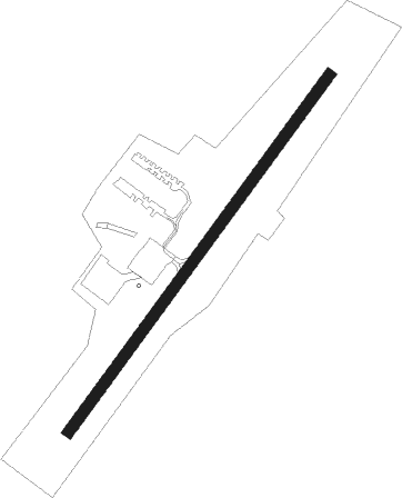
Runway info
| Runway 6 / 24 | ||
| length | 914m (2999ft) | |
| bearing | 50° / 230° | |
| width | 23m (75ft) | |
| surface | asphalt | |
Nearby beacons
| code | identifier | dist | bearing | frequency |
|---|---|---|---|---|
| ENE | KENNEBUNK VOR/DME | 6.5 | 255° | 117.10 |
| SF | SANFD (SANFORD) NDB | 17.6 | 250° | 349 |
| ESG | ROLLINS (ROLLINSFORD) NDB | 21.3 | 236° | 260 |
| PSM | (PORTSMOUTH) DME | 27.6 | 223° | 116.50 |
| LE | LEWIE (AUBURN-LEWISTON) NDB | 30.4 | 15° | 240 |
| CO | EPSOM (CONCORD) NDB | 47.5 | 251° | 216 |
| LWM | DME | 51.3 | 221° | 112.50 |
| MHT | MANCHESTER VOR/DME | 53.1 | 236° | 114.40 |
| AUG | AUGUSTA VOR/DME | 59.1 | 38° | 114.95 |
| AU | DUNNS (AUGUSTA) NDB | 62.7 | 33° | 366 |
Instrument approach procedures
| runway | airway (heading) | route (dist, bearing) |
|---|---|---|
| RW06 | ARMIE (9°) | ARMIE DEXXY (9mi, 320°) 2300ft |
| RW06 | DEXXY (50°) | DEXXY 2300ft |
| RW06 | SATAN (77°) | SATAN DEXXY (8mi, 104°) 2300ft |
| RNAV | DEXXY 2300ft SWLCH (6mi, 50°) 1300ft B19 (4mi, 50°) 178ft (4562mi, 122°) 557ft ENE (4567mi, 302°) 3000ft ENE (turn) 3000ft |
Disclaimer
The information on this website is not for real aviation. Use this data with the X-Plane flight simulator only! Data taken with kind consent from X-Plane 12 source code and data files. Content is subject to change without notice.