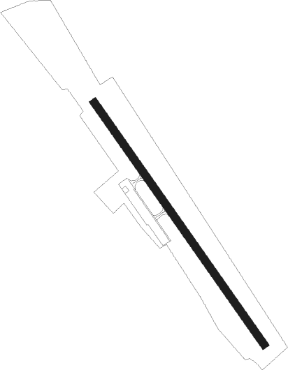
Kingfield - Sugarloaf Rgnl
Airport details
| Country | United States of America |
| State | Maine |
| Region | K6 |
| Airspace | Boston Ctr |
| Municipality | Carrabassett Valley |
| Elevation | 883ft (269m) |
| Timezone | GMT -5 |
| Coordinates | 45.08544, -70.21642 |
| Magnetic var | |
| Type | land |
| Available since | X-Plane v10.40 |
| ICAO code | B21 |
| IATA code | n/a |
| FAA code | n/a |
Communication
| Sugarloaf Rgnl AWOS | 118.000 |
| Sugarloaf Rgnl CTAF/UNICOM | 122.800 |
Nearby Points of Interest:
William F. Norton House
-Frank Hutchins House
-Ora Blanchard House
-Former Town House
-Barn on Lot 8, Range G
-Coplin Plantation Schoolhouse
-New Portland Wire Bridge
-Bingham Free Meetinghouse
-Capt. Joel Whitney House
-Porter-Bell-Brackley Estate
-Madrid Village Schoolhouse
-Upper Dallas School
-Bailey Farm Windmill
-McCleary Farm
-Rangeley Trust Company Building
-Rangeley Public Library
-Madison Public Library
-Thompson's Bridge
-Norridgewock
-Weld Town Hall
-Greenacre
-Franklin County Courthouse
-Hiram Ramsdell House
-Farmington Historic District
-Merrill Hall
Runway info
| Runway 17 / 35 | ||
| length | 874m (2867ft) | |
| bearing | 140° / 320° | |
| width | 23m (75ft) | |
| surface | asphalt | |
Nearby beacons
| code | identifier | dist | bearing | frequency |
|---|---|---|---|---|
| RQM | RANGELEY NDB | 24.4 | 254° | 221 |
| AU | DUNNS (AUGUSTA) NDB | 43.2 | 152° | 366 |
| BUP | BURNHAM (PITTSFIELD) NDB | 43.2 | 114° | 348 |
| AUG | AUGUSTA VOR/DME | 49.3 | 151° | 114.95 |
| BML | DME | 49.4 | 245° | 116.55 |
| VLV | DME | 56.9 | 323° | 117.20 |
Instrument approach procedures
| runway | airway (heading) | route (dist, bearing) |
|---|---|---|
| RWNVA | AUG (331°) | AUG ZOGTU (39mi, 329°) 5000ft |
| RWNVA | HOLIB (58°) | HOLIB ZOGTU (22mi, 78°) 5000ft |
| RWNVA | ZOGTU (341°) | ZOGTU 5000ft |
| RNAV | ZOGTU 5000ft HINOT (5mi, 341°) 3500ft B21 (3862mi, 81°) 3000ft (5328mi, 231°) 3000ft ZOGTU (4570mi, 303°) 5000ft ZOGTU (turn) |
Disclaimer
The information on this website is not for real aviation. Use this data with the X-Plane flight simulator only! Data taken with kind consent from X-Plane 12 source code and data files. Content is subject to change without notice.
