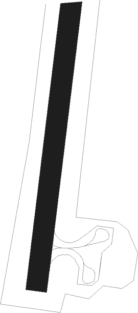
Upernavik
Airport details
| Country | Greenland |
| State | Avannaata |
| Region | BG |
| Airspace | Nuuk Ctr |
| Elevation | 414ft (126m) |
| Timezone | GMT -3 |
| Coordinates | 72.79019, -56.13058 |
| Magnetic var | |
| Type | land |
| Available since | X-Plane v10.40 |
| ICAO code | BGUK |
| IATA code | JUV |
| FAA code | n/a |
Communication
| Upernavik Upernavik AFIS | 118.100 |
Nearby beacons
| code | identifier | dist | bearing | frequency |
|---|---|---|---|---|
| UK | DME-ILS | 0.1 | 128° | 108.55 |
| UP | UPERNAVIK NDB | 0.3 | 279° | 399 |
Instrument approach procedures
| runway | airway (heading) | route (dist, bearing) |
|---|---|---|
| RW23 | SOPAN (249°) | SOPAN 4600ft UKI23 (5mi, 273°) 3300ft |
| RW23 | TUTIT (215°) | TUTIT 4700ft UKI23 (5mi, 215°) 3300ft |
| RW23 | UPKON (138°) | UPKON 3500ft UKI23 (5mi, 93°) 3300ft |
| RNAV | UKI23 3300ft UKF23 (5mi, 215°) 2200ft UKM23 (4mi, 215°) 624ft UKT23 (6mi, 264°) UPKON (12mi, 32°) 3300ft UPKON (turn) 3300ft | |
| RWNVA | ELMUT (58°) | ELMUT 3400ft UKI05 (5mi, 59°) 3300ft |
| RWNVA | ROVIN (5°) | ROVIN 4600ft UKI05 (5mi, 278°) 3300ft |
| RWNVA | UPDAS (76°) | UPDAS 4600ft UKI05 (5mi, 98°) 3300ft |
| RNAV | UKI05 3300ft UKF05 (5mi, 59°) 2700ft UKM05 (5mi, 59°) 1060ft (4835mi, 142°) 1500ft UPDAS (4839mi, 322°) 3300ft UPDAS (turn) 3300ft |
Disclaimer
The information on this website is not for real aviation. Use this data with the X-Plane flight simulator only! Data taken with kind consent from X-Plane 12 source code and data files. Content is subject to change without notice.
