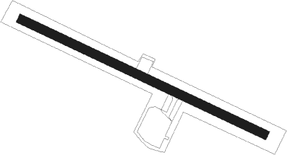
Uummannaq - Qaarsut Ummannaq
Airport details
| Country | Greenland |
| State | Avannaata |
| Region | BG |
| Airspace | Nuuk Ctr |
| Elevation | 289ft (88m) |
| Timezone | GMT -3 |
| Coordinates | 70.73423, -52.69620 |
| Magnetic var | |
| Type | land |
| Available since | X-Plane v10.40 |
| ICAO code | BGUQ |
| IATA code | JQA |
| FAA code | n/a |
Communication
| Qaarsut Ummannaq Qaarsut AFIS | 119.500 |
Nearby beacons
| code | identifier | dist | bearing | frequency |
|---|---|---|---|---|
| QA | DME-ILS | 0.1 | 179° | 110.15 |
| UU | UUMMANNAQ NDB | 0.6 | 97° | 285 |
Instrument approach procedures
| runway | airway (heading) | route (dist, bearing) |
|---|---|---|
| RWNVA | ELBOV (265°) | ELBOV 7700ft UQT41 (5mi, 119°) 5900ft 25NM (2mi, 240°) 5100ft UQI41 (2mi, 240°) 4300ft |
| RWNVA | GISUT (280°) | GISUT 7600ft UQI41 (10mi, 281°) 4300ft |
| RNAV | UQI41 4300ft UQF41 (6mi, 281°) 2800ft UQM41 (5mi, 281°) 1160ft LAROL (11mi, 310°) 3000ft LAROL (turn) 3000ft | |
| RWNVB | ELBOV (265°) | ELBOV 7700ft LAROL (16mi, 280°) 3000ft UQI51 (5mi, 260°) 3000ft |
| RWNVB | GOGAS (126°) | GOGAS 8100ft UQI51 (15mi, 150°) 3000ft |
| RWNVB | LAROL (138°) | LAROL 3000ft UQI51 (5mi, 260°) 3000ft |
| RNAV | UQI51 3000ft UQF51 (5mi, 122°) 2600ft UQM51 (5mi, 102°) 1240ft LAROL (10mi, 323°) 3000ft LAROL (turn) 3000ft |
Disclaimer
The information on this website is not for real aviation. Use this data with the X-Plane flight simulator only! Data taken with kind consent from X-Plane 12 source code and data files. Content is subject to change without notice.
