Baeir
Airport details
| Country | Iceland |
| State | Westfjords |
| Region | BI |
| Airspace | Reykjavik Ctr |
| Municipality | Ísafjarðarbær |
| Elevation | 60ft (18m) |
| Timezone | GMT +0 |
| Coordinates | 66.10042, -22.57380 |
| Magnetic var | |
| Type | land |
| Available since | X-Plane v10.32 |
| ICAO code | BIBI |
| IATA code | n/a |
| FAA code | n/a |
Communication
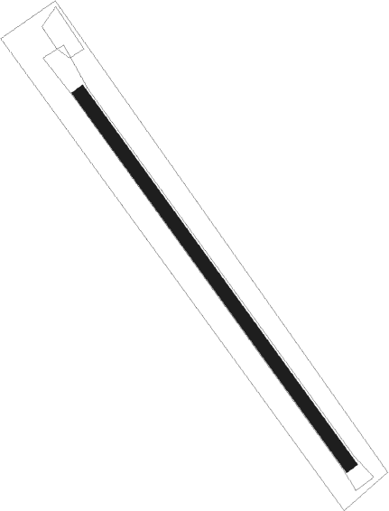
Runway info
| Runway 13 / 31 | ||
| length | 704m (2310ft) | |
| bearing | 123° / 303° | |
| width | 20m (66ft) | |
| surface | gravel | |
Nearby beacons
| code | identifier | dist | bearing | frequency |
|---|---|---|---|---|
| OG | OGUR (ISAFJORDUR) NDB | 4.2 | 242° | 400 |
| OG | DME-ILS | 4.3 | 243° | 110.10 |
| RE | REYKJANESSKOLI (ISAFJORDUR) NDB | 11 | 141° | 316 |
| IS | ISAFJORDUR NDB | 11.3 | 270° | 385 |
Disclaimer
The information on this website is not for real aviation. Use this data with the X-Plane flight simulator only! Data taken with kind consent from X-Plane 12 source code and data files. Content is subject to change without notice.