Bakkafjörður - Bakkafjordur
Airport details
| Country | Iceland |
| State | Northeastern Region (Iceland) |
| Region | BI |
| Airspace | Reykjavik Ctr |
| Municipality | Langanesbyggð |
| Elevation | 100ft (30m) |
| Timezone | GMT +0 |
| Coordinates | 66.01556, -14.82842 |
| Magnetic var | |
| Type | land |
| Available since | X-Plane v10.32 |
| ICAO code | BIBK |
| IATA code | BJD |
| FAA code | n/a |
Communication
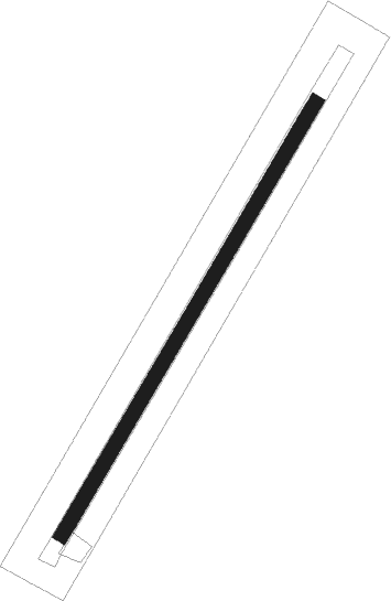
Runway info
| Runway 05 / 23 | ||
| length | 830m (2723ft) | |
| bearing | 60° / 240° | |
| width | 24m (79ft) | |
| surface | gravel | |
Nearby beacons
| code | identifier | dist | bearing | frequency |
|---|---|---|---|---|
| TN | THORSHOFN NDB | 17.3 | 292° | 373 |
| VP | VOPNAFJORDUR NDB | 17.9 | 185° | 393 |
| HA | HOFSA NDB | 23.7 | 209° | 348 |
| MN | MYNES (EGILSSTADIR) NDB | 44.2 | 148° | 382 |
| ES | EGILSSTADIR NDB | 47.5 | 154° | 365 |
| VA | VAD (EGILSSTADIR) NDB | 54.7 | 166° | 335 |
Disclaimer
The information on this website is not for real aviation. Use this data with the X-Plane flight simulator only! Data taken with kind consent from X-Plane 12 source code and data files. Content is subject to change without notice.