Búðardalur - Budardalur
Airport details
| Country | Iceland |
| State | Western Region (Iceland) |
| Region | BI |
| Airspace | Reykjavik Ctr |
| Municipality | Dalabyggð |
| Elevation | 149ft (45m) |
| Timezone | GMT +0 |
| Coordinates | 65.07528, -21.80028 |
| Magnetic var | |
| Type | land |
| Available since | X-Plane v10.40 |
| ICAO code | BIBR |
| IATA code | BQD |
| FAA code | n/a |
Communication
| Budardalur AFIS | 118.100 |
Runway info
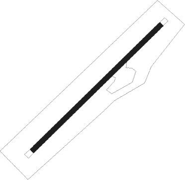
| Runway 06 / 24 | ||
| length | 796m (2612ft) | |
| bearing | 71° / 251° | |
| width | 24m (79ft) | |
| surface | gravel | |
Nearby beacons
| code | identifier | dist | bearing | frequency |
|---|---|---|---|---|
| RH | REYKHOLT NDB | 27.9 | 129° | 325 |
| RE | REYKJANESSKOLI (ISAFJORDUR) NDB | 53.4 | 323° | 316 |
| RK | REYKJAVIK NDB | 55.7 | 194° | 355 |
| GJ | GJOGUR NDB | 56.4 | 27° | 340 |
| EL | ELLIDAVATN NDB | 59.7 | 178° | 335 |
| OG | DME-ILS | 62.1 | 318° | 110.10 |
Disclaimer
The information on this website is not for real aviation. Use this data with the X-Plane flight simulator only! Data taken with kind consent from X-Plane 12 source code and data files. Content is subject to change without notice.