Geysir
Airport details
| Country | Iceland |
| State | Southern Region |
| Region | |
| Airspace | Reykjavik Ctr |
| Municipality | Bláskógabyggð |
| Elevation | 350ft (107m) |
| Timezone | GMT +0 |
| Coordinates | 64.30385, -20.28171 |
| Magnetic var | |
| Type | land |
| Available since | X-Plane v10.40 |
| ICAO code | BIGE |
| IATA code | n/a |
| FAA code | n/a |
Communication
| Geysir AFIS | 118.100 |
Runway info
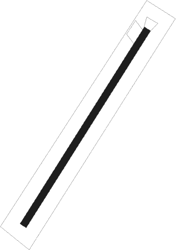
| Runway 06 / 24 | ||
| length | 771m (2530ft) | |
| bearing | 60° / 240° | |
| width | 24m (79ft) | |
| surface | gravel | |
Nearby beacons
| code | identifier | dist | bearing | frequency |
|---|---|---|---|---|
| SE | SELFOSS NDB | 29.9 | 244° | 397 |
| HL | HELGAFELL (VESTMANNAEYJAR) NDB | 52.8 | 180° | 345 |
| HL | (VESTMANNAEYJAR DME-ILS | 53 | 179° | 110.70 |
| VM | VESTMANNAEYJAR NDB | 54.3 | 180° | 375 |
Disclaimer
The information on this website is not for real aviation. Use this data with the X-Plane flight simulator only! Data taken with kind consent from X-Plane 12 source code and data files. Content is subject to change without notice.