Gjögur - Gjogur
Airport details
| Country | Iceland |
| State | Westfjords |
| Region | BI |
| Airspace | Reykjavik Ctr |
| Municipality | Árneshreppur |
| Elevation | 66ft (20m) |
| Timezone | GMT +0 |
| Coordinates | 65.99528, -21.32694 |
| Magnetic var | |
| Type | land |
| Available since | X-Plane v10.40 |
| ICAO code | BIGJ |
| IATA code | GJR |
| FAA code | n/a |
Communication
| Gjogur AFIS | 118.600 |
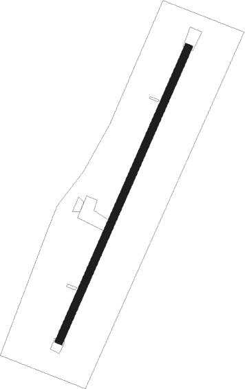
Runway info
| Runway 04 / 22 | ||
| length | 962m (3156ft) | |
| bearing | 53° / 233° | |
| width | 23m (75ft) | |
| surface | asphalt | |
Nearby beacons
| code | identifier | dist | bearing | frequency |
|---|---|---|---|---|
| GJ | GJOGUR NDB | 0 | 260° | 340 |
Instrument approach procedures
| runway | airway (heading) | route (dist, bearing) |
|---|---|---|
| RWNVA | ABTAR (290°) | ABTAR 3400ft GJI41 (4mi, 266°) 3000ft |
| RWNVA | HAKOF (303°) | HAKOF 4000ft GJI41 (4mi, 304°) 3000ft |
| RWNVA | VIGAZ (327°) | VIGAZ 4000ft GJI41 (4mi, 63°) 3000ft |
| RNAV | GJI41 3000ft GJF42 (5mi, 304°) 2100ft GJM43 (5mi, 304°) 1840ft ABTAR (12mi, 109°) ABTAR (turn) 3000ft |
Disclaimer
The information on this website is not for real aviation. Use this data with the X-Plane flight simulator only! Data taken with kind consent from X-Plane 12 source code and data files. Content is subject to change without notice.