Flateyri - Holt
Airport details
| Country | Iceland |
| State | Westfjords |
| Region | |
| Airspace | Reykjavik Ctr |
| Municipality | Ísafjarðarbær |
| Elevation | 7ft (2m) |
| Timezone | GMT +0 |
| Coordinates | 66.01618, -23.44932 |
| Magnetic var | |
| Type | land |
| Available since | X-Plane v10.40 |
| ICAO code | BIHT |
| IATA code | FLI |
| FAA code | n/a |
Communication
| Holt AFIS | 118.100 |
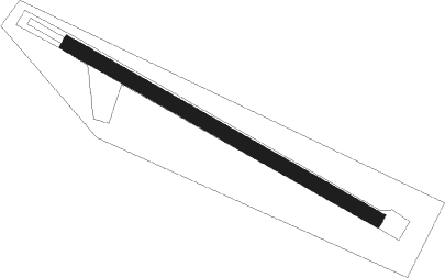
Runway info
| Runway 14 / 32 | ||
| length | 747m (2451ft) | |
| bearing | 105° / 285° | |
| width | 30m (98ft) | |
| surface | gravel | |
Nearby beacons
| code | identifier | dist | bearing | frequency |
|---|---|---|---|---|
| IS | ISAFJORDUR NDB | 11.1 | 79° | 385 |
| OG | DME-ILS | 18.7 | 88° | 110.10 |
| OG | OGUR (ISAFJORDUR) NDB | 18.8 | 88° | 400 |
| SB | SELARDALUR NDB | 19 | 247° | 310 |
Disclaimer
The information on this website is not for real aviation. Use this data with the X-Plane flight simulator only! Data taken with kind consent from X-Plane 12 source code and data files. Content is subject to change without notice.