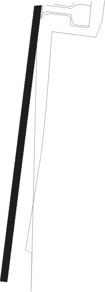
Húsavík - Husavik
Airport details
| Country | Iceland |
| State | Northeastern Region |
| Region | BI |
| Airspace | Reykjavik Ctr |
| Municipality | Norðurþing |
| Elevation | 44ft (13m) |
| Timezone | GMT +0 |
| Coordinates | 65.95250, -17.42583 |
| Magnetic var | |
| Type | land |
| Available since | X-Plane v10.30 |
| ICAO code | BIHU |
| IATA code | HZK |
| FAA code | n/a |
Communication
| Husavik AFIS | 119.200 |
Nearby beacons
| code | identifier | dist | bearing | frequency |
|---|---|---|---|---|
| HS | HUSAVIK NDB | 1.5 | 207° | 329 |
| GA | GARDUR (HUSAVIK) NDB | 4.5 | 207° | 377 |
| AKI | AKUREYRI VOR/DME | 18.3 | 252° | 113.60 |
| HJ | HJALTEYRI (AKUREYRI) NDB | 19.7 | 262° | 319 |
| AR | AKUREYRI NDB | 20.1 | 254° | 334 |
| OE | ODDEYRI (AKUREYRI) NDB | 22.6 | 248° | 415 |
| MOB | MOB TACAN | 24.7 | 244° | 114.80 |
| KN | KRISTNES (AKUREYRI) NDB | 26.9 | 240° | 364 |
| TO | TORFUR (AKUREYRI) NDB | 32.5 | 238° | 324 |
| NB | BOTN (AKUREYRI) NDB | 43.3 | 234° | 387 |
Departure and arrival routes
| Transition altitude | 7000ft |
| SID end points | distance | outbound heading | |
|---|---|---|---|
| RW02 | |||
| TESE1A | 27mi | 302° | |
| RW20 | |||
| RETU1A | 25mi | 206° | |
Instrument approach procedures
| runway | airway (heading) | route (dist, bearing) |
|---|---|---|
| RW02 | GUGSI (26°) | GUGSI 5200ft HUI02 (5mi, 26°) 4000ft |
| RW02 | MAMEP (343°) | MAMEP 4800ft HUI02 (5mi, 275°) 4000ft |
| RW02 | SUXOT (55°) | SUXOT 5500ft HUI02 (5mi, 95°) 4000ft |
| RNAV | HUI02 4000ft HUF02 (8mi, 26°) 2500ft 40THR (3mi, 27°) 1560ft BIHU (4mi, 27°) 98ft HUT02 (14mi, 27°) MAMEP (29mi, 184°) 4000ft MAMEP (turn) 4000ft |
Disclaimer
The information on this website is not for real aviation. Use this data with the X-Plane flight simulator only! Data taken with kind consent from X-Plane 12 source code and data files. Content is subject to change without notice.
