Kerlingafjöll - Kerlingarfjoll
Airport details
| Country | Iceland |
| State | Southern Region |
| Region | BI |
| Airspace | Reykjavik Ctr |
| Municipality | Bláskógabyggð |
| Elevation | 2038ft (621m) |
| Timezone | GMT +0 |
| Coordinates | 64.70500, -19.41055 |
| Magnetic var | |
| Type | land |
| Available since | X-Plane v10.40 |
| ICAO code | BIKE |
| IATA code | n/a |
| FAA code | n/a |
Communication
| Kerlingarfjoll AFIS | 118.100 |
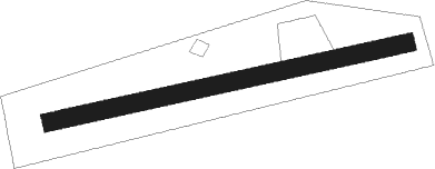
Runway info
| Runway 10 / 28 | ||
| length | 705m (2313ft) | |
| bearing | 87° / 267° | |
| width | 36m (118ft) | |
| surface | gravel | |
Nearby beacons
| code | identifier | dist | bearing | frequency |
|---|---|---|---|---|
| LA | LANGHOLT NDB | 52.3 | 355° | 344 |
| BL | BLONDUOS NDB | 62.9 | 318° | 351 |
Disclaimer
The information on this website is not for real aviation. Use this data with the X-Plane flight simulator only! Data taken with kind consent from X-Plane 12 source code and data files. Content is subject to change without notice.