Stórikroppur - Storikroppur
Airport details
| Country | Iceland |
| State | Western Region |
| Region | BI |
| Airspace | Reykjavik Ctr |
| Municipality | Borgarbyggð |
| Elevation | 164ft (50m) |
| Timezone | GMT +0 |
| Coordinates | 64.63445, -21.48750 |
| Magnetic var | |
| Type | land |
| Available since | X-Plane v10.40 |
| ICAO code | BISR |
| IATA code | n/a |
| FAA code | n/a |
Communication
| Storikroppur AFIS | 118.100 |
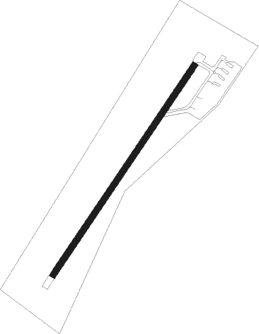
Runway info
| Runway 05 / 23 | ||
| length | 701m (2300ft) | |
| bearing | 62° / 242° | |
| width | 18m (59ft) | |
| surface | asphalt | |
Nearby beacons
| code | identifier | dist | bearing | frequency |
|---|---|---|---|---|
| RH | REYKHOLT NDB | 5.4 | 82° | 325 |
| RK | REYKJAVIK NDB | 32.2 | 228° | 355 |
| EL | ELLIDAVATN NDB | 34 | 207° | 335 |
| SE | SELFOSS NDB | 43.9 | 147° | 397 |
Disclaimer
The information on this website is not for real aviation. Use this data with the X-Plane flight simulator only! Data taken with kind consent from X-Plane 12 source code and data files. Content is subject to change without notice.