Creede - Mineral County Memorial
Airport details
| Country | United States of America |
| State | Colorado |
| Region | K2 |
| Airspace | Denver Ctr |
| Municipality | Mineral County |
| Elevation | 8680ft (2646m) |
| Timezone | GMT -7 |
| Coordinates | 37.82217, -106.92989 |
| Magnetic var | |
| Type | land |
| Available since | X-Plane v10.40 |
| ICAO code | C24 |
| IATA code | n/a |
| FAA code | n/a |
Communication
| Mineral County Memorial CTAF | 122.900 |
Nearby Points of Interest:
Sevenmile Bridge
-Wagon Wheel Gap Railroad Station
-Slumgullion Earthflow
-Debs School
-Capilla de San Juan Bautista
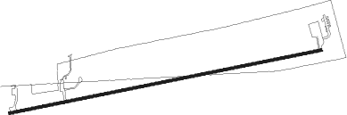
Runway info
| Runway 7 / 25 | ||
| length | 2093m (6867ft) | |
| bearing | 85° / 265° | |
| width | 18m (60ft) | |
| surface | asphalt | |
| displ threshold | 57m (187ft) / 0m (0ft) | |
Nearby beacons
| code | identifier | dist | bearing | frequency |
|---|---|---|---|---|
| HBU | BLUE MESA (GUNNISON) VOR/DME | 38.1 | 350° | 114.90 |
| DRO | DURANGO VOR/DME | 56 | 231° | 116.55 |
| MTJ | MONTROSE VOR/DME | 61.5 | 305° | 117.10 |
Disclaimer
The information on this website is not for real aviation. Use this data with the X-Plane flight simulator only! Data taken with kind consent from X-Plane 12 source code and data files. Content is subject to change without notice.