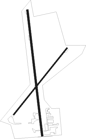
Portage - Portage Muni
Airport details
| Country | United States of America |
| State | Wisconsin |
| Region | K5 |
| Airspace | Chicago Ctr |
| Municipality | Portage |
| Elevation | 825ft (251m) |
| Timezone | GMT -6 |
| Coordinates | 43.56031, -89.48286 |
| Magnetic var | |
| Type | land |
| Available since | X-Plane v10.40 |
| ICAO code | C47 |
| IATA code | n/a |
| FAA code | n/a |
Communication
| Portage Muni CTAF/UNICOM | 122.700 |
| Portage Muni MADISON Approach/Departure | 120.100 |
| Portage Muni MADISON Approach/Departure | 135.450 |
Nearby Points of Interest:
Society Hill Historic District
-Church Hill Historic District
-Zona Gale House
-Henry Merrell House
-Portage Industrial Waterfront Historic District
-Portage Canal
-Old Indian Agency House
-Richard T. Ely House
-Aldo Leopold Shack and Farm
-Pardeeville Presbyterian Church
-Angie Williams Cox Library
-Belmont Hotel
-Judson C. Cutter House
-Durward's Glen
-Fountain Lake Farm
-Baraboo Range
-Walworth D. Porter Duplex Residence
-Sauk County Courthouse
-Wawbeek-Horace A.J. Upham House
-Ice Age Trail
-Merrimac Ferry
-Kilbourn Public Library
-H. H. Bennett Studio
-Jacob Weber House
-Goeres Park

Nearby beacons
| code | identifier | dist | bearing | frequency |
|---|---|---|---|---|
| DLL | DELLS (BARABOO) VORTAC | 12.2 | 268° | 117 |
| MSN | MADISON VORTAC | 25.7 | 161° | 108.60 |
| LNR | ROCK DME | 32.5 | 248° | 116.05 |
| UNU | JUNEAU NDB | 34.9 | 100° | 344 |
| DAF | NECEDAH NDB | 38.5 | 308° | 233 |
| RYV | ROCK RIVER (WATERTOWN) NDB | 40.4 | 117° | 371 |
| VOK | VOLK (CAMP DOUGLAS) TACAN | 40.7 | 296° | 110.40 |
| OS | POBER (OSHKOSH) NDB | 44.3 | 71° | 395 |
| OSH | OSHKOSH VORTAC | 47.7 | 65° | 116.75 |
Instrument approach procedures
| runway | airway (heading) | route (dist, bearing) |
|---|---|---|
| RW18 | WREST (295°) | WREST HOPES (14mi, 335°) 2600ft HOPES (turn) 2600ft |
| RNAV | HOPES 2600ft IFYAZ (6mi, 177°) 2600ft CAPUD (3mi, 177°) 1560ft C47 (2mi, 177°) 851ft (5383mi, 116°) 1224ft HOPES (5383mi, 296°) 2600ft HOPES (turn) |
Disclaimer
The information on this website is not for real aviation. Use this data with the X-Plane flight simulator only! Data taken with kind consent from X-Plane 12 source code and data files. Content is subject to change without notice.