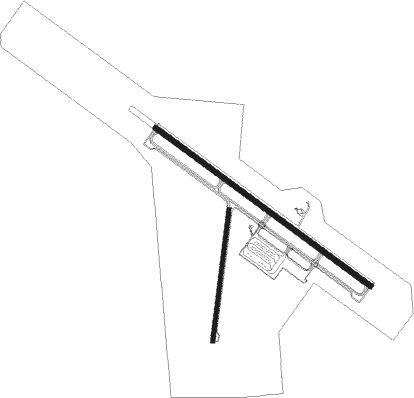
New Coalinga Muni
Airport details
| Country | United States of America |
| State | California |
| Region | K2 |
| Airspace | Oakland Ctr |
| Municipality | Coalinga |
| Elevation | 622ft (190m) |
| Timezone | GMT -8 |
| Coordinates | 36.16224, -120.29475 |
| Magnetic var | |
| Type | land |
| Available since | X-Plane v10.40 |
| ICAO code | C80 |
| IATA code | n/a |
| FAA code | n/a |
Communication
| NEW COALINGA MUNI AWOS 3 | 119.275 |
| NEW COALINGA MUNI CTAF/UNICOM | 122.700 |
Nearby Points of Interest:
San Andreas Fault Observatory at Depth

Nearby beacons
| code | identifier | dist | bearing | frequency |
|---|---|---|---|---|
| NLC | NAVY LEMOORE TACAN | 19.2 | 61° | 113.30 |
| PRB | PASO ROBLES VORTAC | 33.5 | 214° | 114.30 |
| AVE | AVENAL VOR/DME | 34.5 | 148° | 117.10 |
| PXN | PANOCHE VORTAC | 40.6 | 319° | 112.60 |
| VIS | VISALIA VOR/DME | 41.2 | 76° | 109.40 |
| HGT | HUNTER LIGGETT NDB | 45 | 257° | 209 |
| CZQ | CLOVIS (FRESNO) VORTAC | 49.1 | 34° | 112.90 |
| MQO | MORRO BAY (SAN LUIS OBISP VORTAC | 59.1 | 207° | 112.40 |
| FRA | FRIANT VORTAC | 65.8 | 37° | 115.60 |
Disclaimer
The information on this website is not for real aviation. Use this data with the X-Plane flight simulator only! Data taken with kind consent from X-Plane 12 source code and data files. Content is subject to change without notice.