Airdrie
Airport details
| Country | Canada |
| State | Alberta |
| Region | CY |
| Airspace | Edmonton Ctr |
| Municipality | Airdrie |
| Elevation | 3645ft (1111m) |
| Timezone | GMT -7 |
| Coordinates | 51.26382, -113.93452 |
| Magnetic var | |
| Type | land |
| Available since | X-Plane v10.30 |
| ICAO code | CEF4 |
| IATA code | n/a |
| FAA code | n/a |
Communication
| AIRDRIE CTAF UNIC | 122.900 |
Nearby Points of Interest:
Centre Street Bridge
-Burns Building
-Mewata Armouries
-Hart House
-St. Patrick's Roman Catholic Church
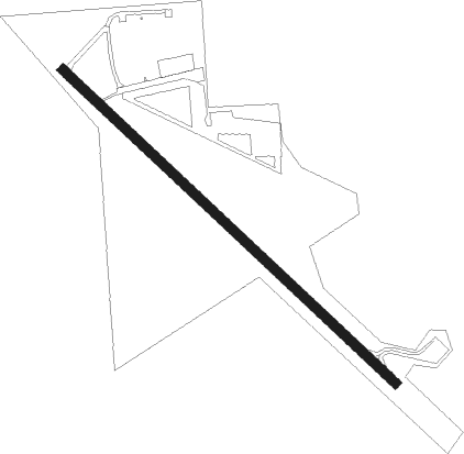
Runway info
| Runway 12 / 30 | ||
| length | 1522m (4993ft) | |
| bearing | 125° / 305° | |
| width | 30m (100ft) | |
| surface | asphalt | |
Nearby beacons
| code | identifier | dist | bearing | frequency |
|---|---|---|---|---|
| YYC | CALGARY VOR/DME | 9.1 | 161° | 116.70 |
| K2 | OLDS-DIDSBURY NDB | 27.5 | 339° | 376 |
| 9G | SUNDRE NDB | 41.7 | 305° | 405 |
| YQF | RED DEER NDB | 51.9 | 2° | 320 |
| 6G | DEER DME | 55.1 | 3° | 113.80 |
Disclaimer
The information on this website is not for real aviation. Use this data with the X-Plane flight simulator only! Data taken with kind consent from X-Plane 12 source code and data files. Content is subject to change without notice.