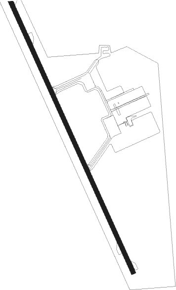
Drayton Valley - Drayton Valley Industrial
Airport details
| Country | Canada |
| State | Alberta |
| Region | CY |
| Airspace | Edmonton Ctr |
| Municipality | Brazeau County |
| Elevation | 2774ft (846m) |
| Timezone | GMT -7 |
| Coordinates | 53.26583, -114.96028 |
| Magnetic var | |
| Type | land |
| Available since | X-Plane v10.40 |
| ICAO code | CER3 |
| IATA code | YDC |
| FAA code | n/a |
Communication
| Drayton Valley Industrial UNICOM / Traffic | 122.800 |
Nearby beacons
| code | identifier | dist | bearing | frequency |
|---|---|---|---|---|
| 3M | DRAYTON VALLEY NDB | 0.1 | 64° | 385 |
| YRM | ROCKY MOUNTAIN HOUSE VOR/DME | 47.7 | 205° | 114.30 |
| YZU | WHITECOURT VOR/DME | 60.6 | 316° | 112.50 |
Disclaimer
The information on this website is not for real aviation. Use this data with the X-Plane flight simulator only! Data taken with kind consent from X-Plane 12 source code and data files. Content is subject to change without notice.