Sundre
Airport details
| Country | Canada |
| State | Alberta |
| Region | CY |
| Airspace | Edmonton Ctr |
| Municipality | Mountain View County |
| Elevation | 3654ft (1114m) |
| Timezone | GMT -7 |
| Coordinates | 51.77467, -114.68097 |
| Magnetic var | |
| Type | land |
| Available since | X-Plane v10.40 |
| ICAO code | CFN7 |
| IATA code | n/a |
| FAA code | n/a |
Communication
| SUNDRE CTAF | 123.200 |
Runway info
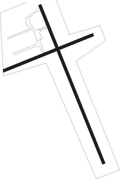
Runway 15 / 33  | ||
| length | 1326m (4350ft) | |
| bearing | 153° / 333° | |
| width | 23m (75ft) | |
| surface | asphalt | |
| displ threshold | 109m (358ft) / 66m (217ft) | |
| Runway 06 / 24 | ||
| length | 744m (2441ft) | |
| bearing | 79° / 259° | |
| width | 23m (75ft) | |
| surface | grass | |
Nearby beacons
| code | identifier | dist | bearing | frequency |
|---|---|---|---|---|
| 9G | SUNDRE NDB | 0.3 | 336° | 405 |
| K2 | OLDS-DIDSBURY NDB | 21.6 | 96° | 376 |
| YQF | RED DEER NDB | 35.8 | 66° | 320 |
| 6G | DEER DME | 38.3 | 63° | 113.80 |
| YRM | ROCKY MOUNTAIN HOUSE VOR/DME | 49.6 | 319° | 114.30 |
| YYC | CALGARY VOR/DME | 49.6 | 130° | 116.70 |
Instrument approach procedures
| runway | airway (heading) | route (dist, bearing) |
|---|---|---|
| RW15 | IGSOV (193°) | IGSOV LEPAG (5mi, 259°) 6500ft |
| RW15 | KAVDI (124°) | KAVDI LEPAG (5mi, 79°) 6500ft |
| RNAV | LEPAG 6500ft MASOD (6mi, 153°) 5400ft IGTUG (3mi, 153°) 4480ft CFN7 (3mi, 156°) 3707ft SAXID (5mi, 152°) 6000ft SAXID (turn) | |
| RW33 | IGTOD (18°) | IGTOD LEPEX (6mi, 79°) 6300ft |
| RW33 | KAVNU (300°) | KAVNU LEPEX (6mi, 259°) 6300ft |
| RNAV | LEPEX 6300ft MAVOV (6mi, 333°) 5400ft SEBAR (3mi, 333°) 4400ft CFN7 (3mi, 331°) 3704ft KANIV (5mi, 335°) 6000ft KANIV (turn) |
Disclaimer
The information on this website is not for real aviation. Use this data with the X-Plane flight simulator only! Data taken with kind consent from X-Plane 12 source code and data files. Content is subject to change without notice.