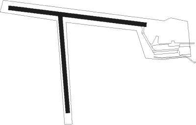
Birch Hills
Airport details
| Country | Canada |
| State | Saskatchewan |
| Region | CY |
| Airspace | Winnipeg Ctr |
| Municipality | Birch Hills |
| Elevation | 1500ft (457m) |
| Timezone | GMT -6 |
| Coordinates | 52.99083, -105.44473 |
| Magnetic var | |
| Type | land |
| Available since | X-Plane v10.40 |
| ICAO code | CJD3 |
| IATA code | n/a |
| FAA code | n/a |
Communication
| Birch Hills Traffic | 123.200 |
Nearby Points of Interest:
Fort de la Corne

Nearby beacons
| code | identifier | dist | bearing | frequency |
|---|---|---|---|---|
| ZPA | GLASS (PRINCE ALBERT) NDB | 14 | 336° | 372 |
| YPA | PRINCE ALBERT VOR/DME | 15.7 | 315° | 113 |
| PA | PRINCE ALBERT NDB | 18.6 | 303° | 347 |
| V2 | HUMBOLDT NDB | 50.3 | 159° | 277 |
Disclaimer
The information on this website is not for real aviation. Use this data with the X-Plane flight simulator only! Data taken with kind consent from X-Plane 12 source code and data files. Content is subject to change without notice.