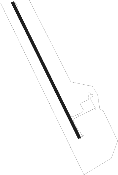
Île-à-la-crosse - Ile A La Crosse
Airport details
| Country | Canada |
| State | Saskatchewan |
| Region | CY |
| Airspace | Edmonton Ctr |
| Municipality | Ile-à-la-Crosse |
| Elevation | 1394ft (425m) |
| Timezone | GMT -6 |
| Coordinates | 55.48972, -107.93076 |
| Magnetic var | |
| Type | land |
| Available since | X-Plane v10.40 |
| ICAO code | CJF3 |
| IATA code | n/a |
| FAA code | n/a |
Communication
Instrument approach procedures
| runway | airway (heading) | route (dist, bearing) |
|---|---|---|
| RW15 | VIXET (114°) | VIXET IMUGI (5mi, 77°) 3200ft |
| RW15 | VODOB (193°) | VODOB IMUGI (5mi, 257°) 3200ft |
| RNAV | IMUGI 3200ft ONDUV (5mi, 144°) 3120ft CJF3 (5mi, 145°) 1441ft ALPEM (5mi, 145°) 2900ft ALPEM (turn) | |
| RW33 | NADIP (295°) | NADIP OTSIK (5mi, 257°) 2900ft |
| RW33 | UKRUR (13°) | UKRUR OTSIK (5mi, 77°) 2900ft |
| RNAV | OTSIK 2900ft PIBGA (5mi, 325°) 2900ft CJF3 (5mi, 325°) 1443ft KETGO (5mi, 325°) 2900ft KETGO (turn) |
Disclaimer
The information on this website is not for real aviation. Use this data with the X-Plane flight simulator only! Data taken with kind consent from X-Plane 12 source code and data files. Content is subject to change without notice.