Beauval
Airport details
| Country | Canada |
| State | Saskatchewan |
| Region | CY |
| Airspace | Edmonton Ctr |
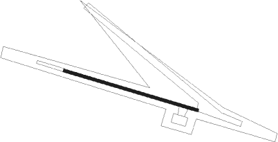
| Municipality | Beauval |
| Elevation | 1423ft (434m) |
| Timezone | GMT -6 |
| Coordinates | 55.11038, -107.71631 |
| Magnetic var | |
| Type | land |
| Available since | X-Plane v10.40 |
| ICAO code | CJK3 |
| IATA code | n/a |
| FAA code | n/a |
Communication
Instrument approach procedures
| runway | airway (heading) | route (dist, bearing) |
|---|---|---|
| RW10 | KESGU (86°) | KESGU MUTAP (5mi, 33°) 3100ft |
| RW10 | LOPSA (123°) | LOPSA MUTAP (5mi, 213°) 3100ft |
| RNAV | MUTAP 3100ft PEKVI (5mi, 102°) 3070ft ONBEN (3mi, 102°) 2020ft CJK3 (2mi, 102°) 1475ft OVDUL (5mi, 102°) 3000ft OVDUL (turn) | |
| RW28 | ANTUP (304°) | ANTUP DENLO (5mi, 34°) 3100ft |
| RW28 | KISOL (266°) | KISOL DENLO (5mi, 214°) 3100ft |
| RNAV | DENLO 3100ft LITKA (5mi, 282°) 3060ft AMAVI (2mi, 282°) 2270ft CJK3 (3mi, 282°) 1472ft NUBUP (5mi, 282°) 3000ft NUBUP (turn) |
Disclaimer
The information on this website is not for real aviation. Use this data with the X-Plane flight simulator only! Data taken with kind consent from X-Plane 12 source code and data files. Content is subject to change without notice.