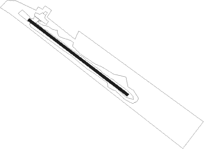
La Loche
Airport details
| Country | Canada |
| State | Saskatchewan |
| Region | CY |
| Airspace | Edmonton Ctr |
| Municipality | La Loche |
| Elevation | 1500ft (457m) |
| Timezone | GMT -6 |
| Coordinates | 56.47318, -109.40369 |
| Magnetic var | |
| Type | land |
| Available since | X-Plane v10.40 |
| ICAO code | CJL4 |
| IATA code | n/a |
| FAA code | n/a |
Communication
Instrument approach procedures
| runway | airway (heading) | route (dist, bearing) |
|---|---|---|
| RW12 | APGUK (98°) | APGUK ESVEX (5mi, 58°) 2900ft |
| RW12 | XOPLA (145°) | XOPLA ESVEX (5mi, 238°) 2900ft |
| RNAV | ESVEX 2900ft TUDUX (6mi, 116°) 2900ft CJL4 (4mi, 116°) 1560ft GUDUB (5mi, 116°) 2800ft GUDUB (turn) | |
| RW30 | ETNAD (325°) | ETNAD LEVAB (5mi, 58°) 2900ft |
| RW30 | ITMEP (278°) | ITMEP LEVAB (5mi, 238°) 2900ft |
| RNAV | LEVAB 2900ft XOTRI (6mi, 296°) 2880ft CJL4 (5mi, 296°) 1546ft KODOD (5mi, 296°) 2900ft KODOD (turn) |
Disclaimer
The information on this website is not for real aviation. Use this data with the X-Plane flight simulator only! Data taken with kind consent from X-Plane 12 source code and data files. Content is subject to change without notice.