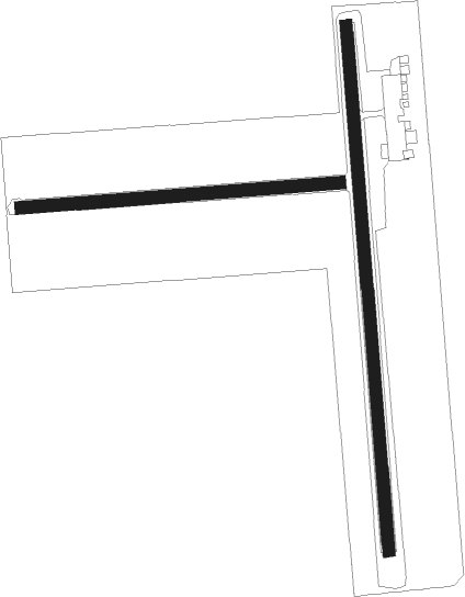
Altona - Altona Muni
Airport details
| Country | Canada |
| State | Manitoba |
| Region | CY |
| Airspace | Winnipeg Ctr |
| Municipality | Municipality of Rhineland |
| Elevation | 806ft (246m) |
| Timezone | GMT -6 |
| Coordinates | 49.09697, -97.52847 |
| Magnetic var | |
| Type | land |
| Available since | X-Plane v10.40 |
| ICAO code | CJL6 |
| IATA code | n/a |
| FAA code | n/a |
Communication
| Altona Muni CTAF | 123.200 |
Nearby Points of Interest:
Gingras Trading Post State Historic Site
-Walla Theatre
-Pembina County Courthouse

Nearby beacons
| code | identifier | dist | bearing | frequency |
|---|---|---|---|---|
| HML | HUMBOLDT TACAN | 21.1 | 119° | 112.40 |
| LF | LA SALLE NDB | 33.9 | 23° | 336 |
| ZWW | BOINE (WINNIPEG) NDB | 45.2 | 20° | 215 |
| ZHT | FORKS (WINNIPEG) NDB | 46.7 | 28° | 236 |
| WG | WINNIPEG NDB | 48.6 | 13° | 248 |
| YWG | WINNIPEG VORTAC | 51.1 | 19° | 115.50 |
| PG | PORTAGE (PORTAGE LA PRAIRIE) NDB | 51.4 | 319° | 353 |
| ZWN | DOWNS (WINNIPEG) NDB | 52.6 | 13° | 201 |
| ZWG | STONEY (WINNIPEG) NDB | 54.9 | 19° | 287 |
| YPG | PORTAGE (PORTAGE LA PRAIR VOR/DME | 56.1 | 317° | 114.60 |
Disclaimer
The information on this website is not for real aviation. Use this data with the X-Plane flight simulator only! Data taken with kind consent from X-Plane 12 source code and data files. Content is subject to change without notice.