Melita
Airport details
| Country | Canada |
| State | Manitoba |
| Region | CY |
| Airspace | Winnipeg Ctr |
| Municipality | Municipality of Two Borders |
| Elevation | 1475ft (450m) |
| Timezone | GMT -6 |
| Coordinates | 49.26167, -101.01389 |
| Magnetic var | |
| Type | land |
| Available since | X-Plane v10.40 |
| ICAO code | CJT5 |
| IATA code | n/a |
| FAA code | n/a |
Communication
| Melita Traffic | 123.200 |
Nearby Points of Interest:
State Bank of Antler
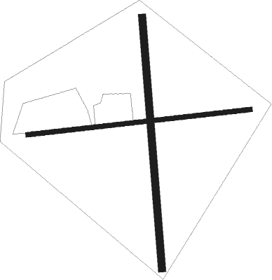
Runway info
Runway 08 / 26  | ||
| length | 611m (2005ft) | |
| bearing | 89° / 269° | |
| width | 12m (40ft) | |
| surface | grass | |
| Runway 17 / 35 | ||
| length | 687m (2254ft) | |
| bearing | 180° / 0° | |
| width | 20m (65ft) | |
| surface | grass | |
Nearby beacons
| code | identifier | dist | bearing | frequency |
|---|---|---|---|---|
| MIB | DEERING (MINOT) TACAN | 52.6 | 203° | 114.90 |
| BR | BRANDON NDB | 53.3 | 55° | 233 |
Disclaimer
The information on this website is not for real aviation. Use this data with the X-Plane flight simulator only! Data taken with kind consent from X-Plane 12 source code and data files. Content is subject to change without notice.