Russell
Airport details
| Country | Canada |
| State | Manitoba |
| Region | CY |
| Airspace | Winnipeg Ctr |
| Municipality | Municipality of Russell – Binscarth |
| Elevation | 1825ft (556m) |
| Timezone | GMT -6 |
| Coordinates | 50.76406, -101.29407 |
| Magnetic var | |
| Type | land |
| Available since | X-Plane v10.40 |
| ICAO code | CJW5 |
| IATA code | n/a |
| FAA code | n/a |
Communication
| RUSSELL CTAF/UNICOM | 122.800 |
| RUSSELL Phonety Tower | 128.800 |
Nearby Points of Interest:
Fort Espérance
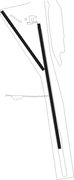
Runway info
Runway 17 / 35  | ||
| length | 1033m (3389ft) | |
| bearing | 172° / 352° | |
| width | 23m (75ft) | |
| surface | asphalt | |
| blast zone | 75m (246ft) / 0m (0ft) | |
| Runway 14 / 32 | ||
| length | 580m (1903ft) | |
| bearing | 137° / 317° | |
| width | 23m (75ft) | |
| surface | grass | |
Nearby beacons
| code | identifier | dist | bearing | frequency |
|---|---|---|---|---|
| 3Z | RUSSELL NDB | 0 | 273° | 263 |
Instrument approach procedures
| runway | airway (heading) | route (dist, bearing) |
|---|---|---|
| RW17-Y | ITBOX (134°) | ITBOX MIVET (6mi, 87°) 3500ft |
| RW17-Y | VIDMA (213°) | VIDMA MIVET (6mi, 267°) 3500ft |
| RNAV | MIVET 3500ft PEVMI (6mi, 172°) 3500ft IGSUD (3mi, 172°) 2630ft CJW5 (3mi, 172°) 1864ft AXETA (7mi, 172°) 3500ft AXETA (turn) | |
| RW17-Z | ITBOX (134°) | ITBOX MIVET (6mi, 87°) 3500ft |
| RW17-Z | VIDMA (213°) | VIDMA MIVET (6mi, 267°) 3500ft |
| RNAV | MIVET 3500ft PEVMI (6mi, 172°) 3500ft IGSUD (3mi, 172°) 2630ft CJW5 (3mi, 172°) 1864ft AXETA (7mi, 172°) 3500ft AXETA (turn) 3500ft | |
| RW35-Y | DULKU (33°) | DULKU IPTEM (6mi, 87°) 3500ft |
| RW35-Y | EPMUS (314°) | EPMUS IPTEM (6mi, 267°) 3500ft |
| RNAV | IPTEM 3500ft MARAB (6mi, 352°) 3500ft CJW5 (5mi, 352°) 1859ft GUDIG (7mi, 352°) 3500ft GUDIG (turn) | |
| RW35-Z | DULKU (33°) | DULKU IPTEM (6mi, 87°) 3500ft |
| RW35-Z | EPMUS (314°) | EPMUS IPTEM (6mi, 267°) 3500ft |
| RNAV | IPTEM 3500ft MARAB (6mi, 352°) 3500ft CJW5 (5mi, 352°) 1859ft GUDIG (7mi, 352°) 3500ft GUDIG (turn) 3500ft |
Disclaimer
The information on this website is not for real aviation. Use this data with the X-Plane flight simulator only! Data taken with kind consent from X-Plane 12 source code and data files. Content is subject to change without notice.