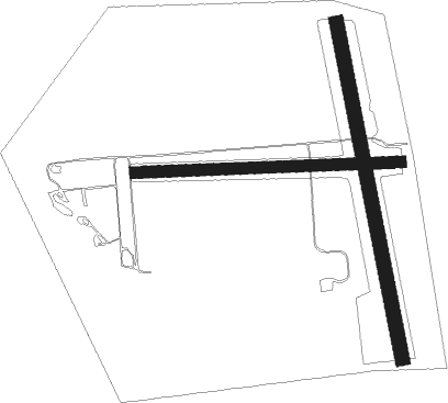
Mojave - Kelso Valley
Airport details
| Country | United States of America |
| State | California |
| Region | K2 |
| Airspace | Los Angeles Ctr |
| Municipality | Kern County |
| Elevation | 4069ft (1240m) |
| Timezone | GMT -8 |
| Coordinates | 35.38832, -118.22029 |
| Magnetic var | |
| Type | land |
| Available since | X-Plane v10.40 |
| ICAO code | CN37 |
| IATA code | n/a |
| FAA code | CN37 |
Communication
Nearby Points of Interest:
Last Chance Canyon
-Burro Schmidt Tunnel
-Walker Pass
-Tehachapi Railroad Depot
-Tehachapi Loop
-Courtlandt Gross House

Nearby beacons
| code | identifier | dist | bearing | frequency |
|---|---|---|---|---|
| NID | CHINA LAKE TACAN | 31.5 | 61° | 111.60 |
| EDW | EDWARDS VORTAC | 34.1 | 130° | 116.40 |
| EHF | SHAFTER (BAKERSFIELD) VORTAC | 43.3 | 276° | 115.40 |
| LHS | LAKE HUGHES VORTAC | 45.8 | 207° | 114.35 |
| PMD | PALMDALE VORTAC | 46.1 | 168° | 114.50 |
| GMN | GORMAN VORTAC | 47.1 | 228° | 116.10 |
| TTE | TULE VOR/DME | 50.1 | 303° | 109.20 |
| VCV | VICTORVILLE VOR/DME | 62.7 | 134° | 109.05 |
Disclaimer
The information on this website is not for real aviation. Use this data with the X-Plane flight simulator only! Data taken with kind consent from X-Plane 12 source code and data files. Content is subject to change without notice.